Mosby Hill, Mark Twain National Forest
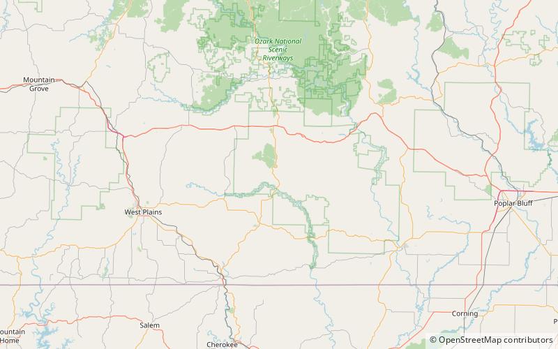
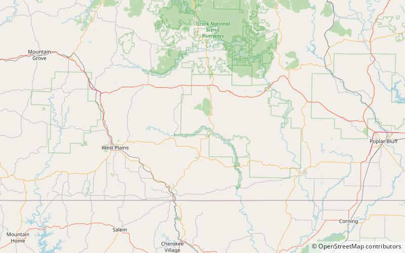
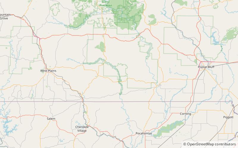
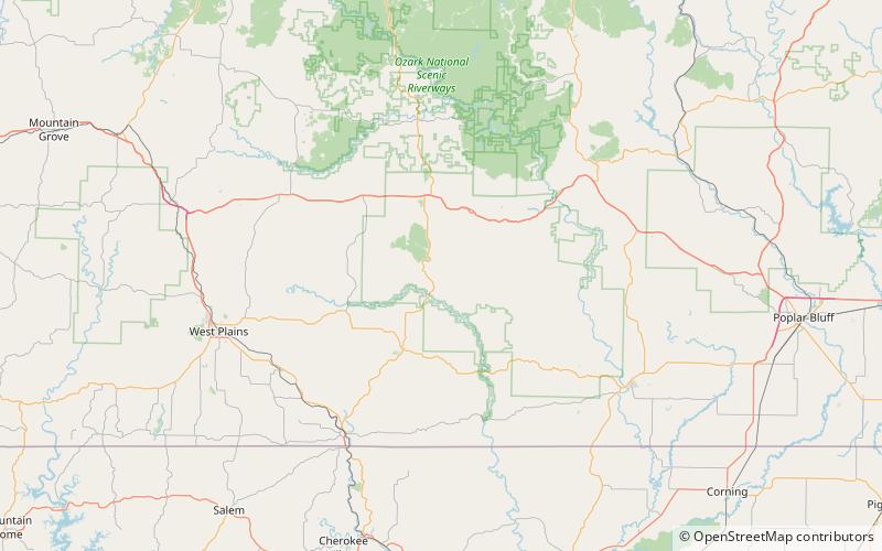
Map
Facts and practical information
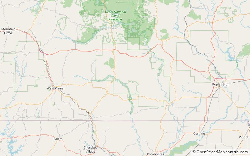
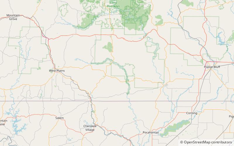
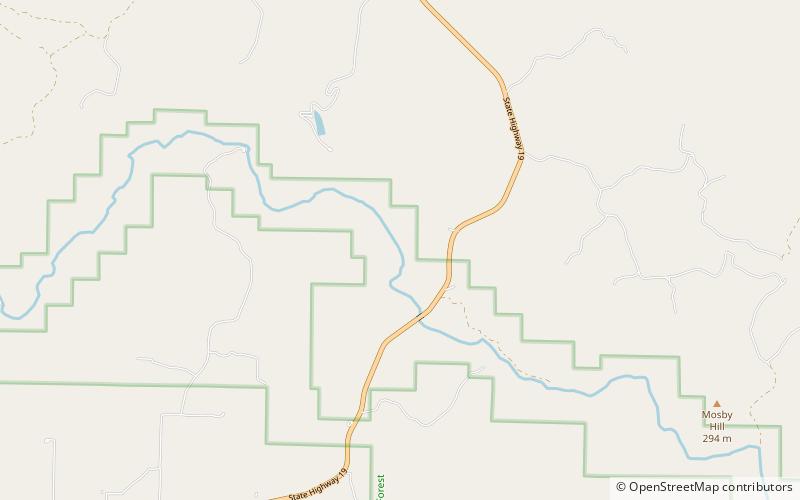
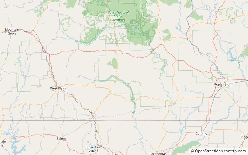
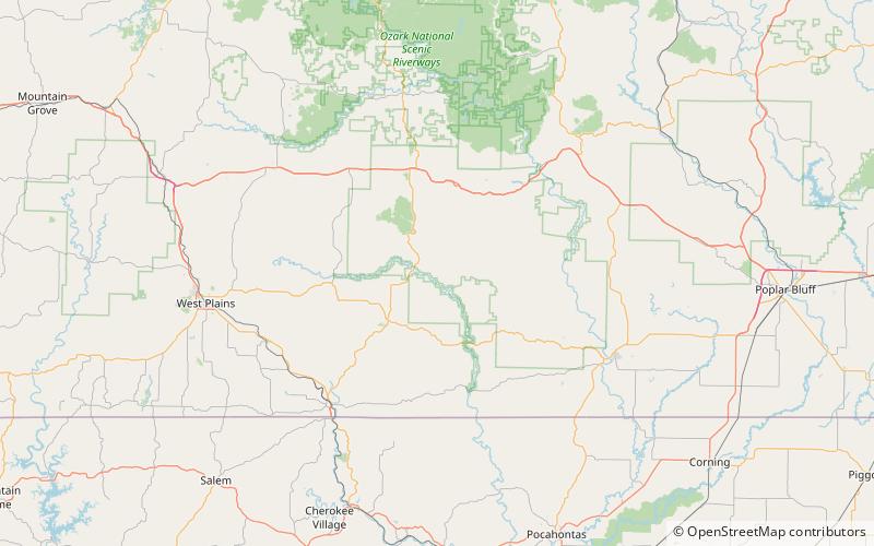
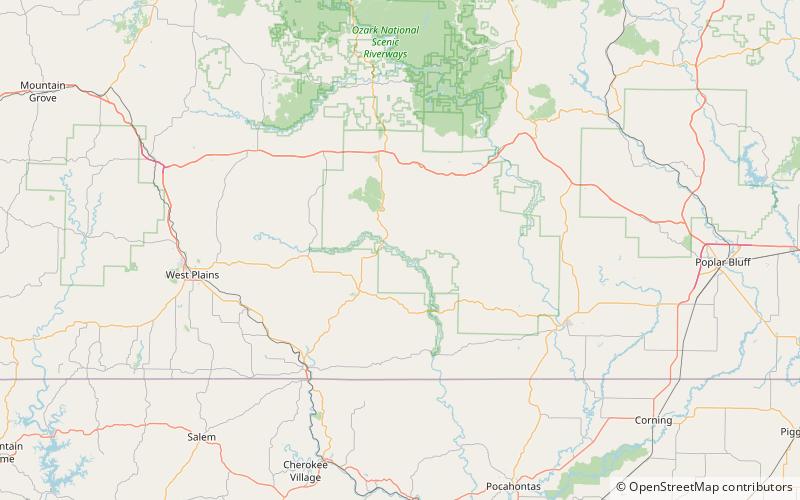
Mosby Hill is a summit in Oregon County in the U.S. state of Missouri with an elevation of 965 feet. The peak rises about 455 ft above the junction of Hurricane Creek and the Eleven Point River. The community of Greer lies about 3.5 miles to the southwest on Missouri Route 19. ()
Coordinates: 36°46'56"N, 91°16'57"W
Address
Mark Twain National Forest
ContactAdd
Social media
Add
Day trips
Mosby Hill – popular in the area (distance from the attraction)
Nearby attractions include: Stinking Pond Hollow, Bat Cave Hollow, Duncan Hollow, Kelly Hollow.
