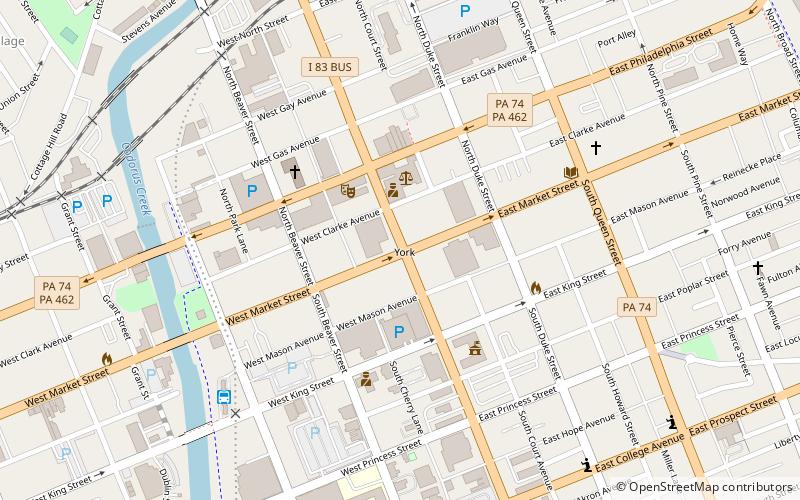
Codorus Navigation, York

Map
Facts and practical information
The Codorus Navigation Company, based in York in south-central Pennsylvania, was formed in 1829 to make a navigable waterway along Codorus Creek from York, Pennsylvania to the Susquehanna River, a distance of 11 miles. Plans called for 3 miles of canal, 8 miles of slack-water pools, 10 dams, and 13 locks with an average lift of about 7 feet. ()
Coordinates: 39°57'45"N, 76°43'40"W
Address
Downtown YorkYork
ContactAdd
Social media
Add
Day trips
Codorus Navigation – popular in the area (distance from the attraction)
Nearby attractions include: York City Ice Arena, York Central Market, PeoplesBank Park, York County Heritage Rail Trail.
Frequently Asked Questions (FAQ)
Which popular attractions are close to Codorus Navigation?
Nearby attractions include York Central Market, York (3 min walk), Golden Plough Tavern, York (3 min walk), Smyser-Bair House, York (4 min walk), Marketview Arts, York (4 min walk).
How to get to Codorus Navigation by public transport?
The nearest stations to Codorus Navigation:
Bus
Bus
- York Bus Transfer Center (7 min walk)


