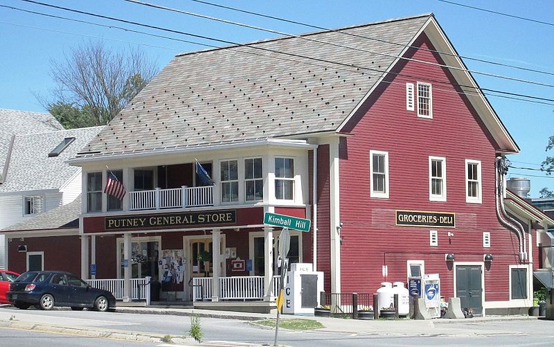
Putney Village Historic District, Putney
Map
Gallery
Facts and practical information
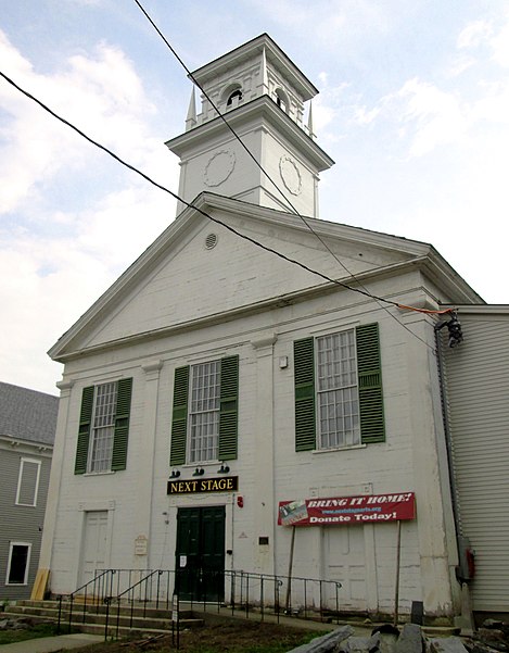
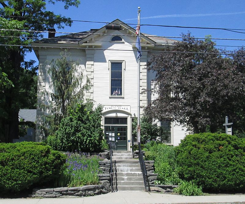
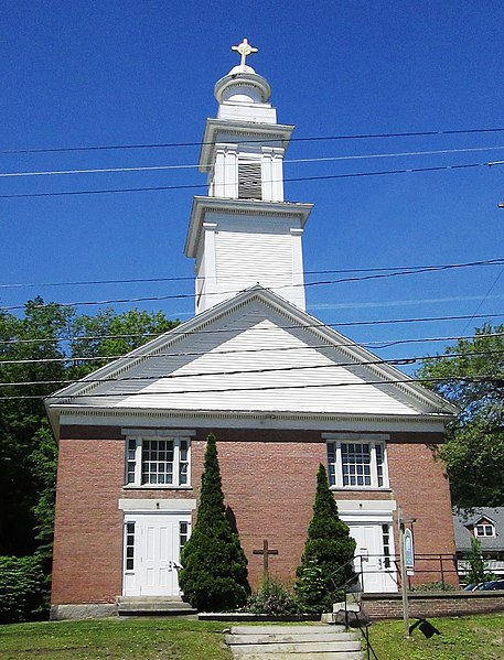
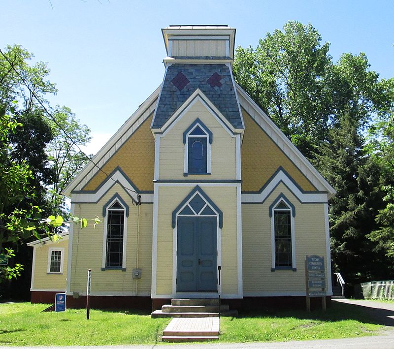
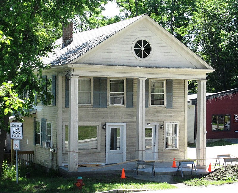
The Putney Village Historic District encompasses most of the main village and town center of Putney, Vermont. Settled in the 1760s, the village saw its major growth in the late 18th and early 19th century, and includes a cohesive collection with Federal and Greek Revival buildings, with a more modest number of important later additions, including the Italianate town hall. The district was listed on the National Register of Historic Places in 1986. ()
Built: 1753 (273 years ago)Area: 140 acres (0.2187 mi²)Coordinates: 42°58'30"N, 72°31'27"W
Address
Putney
ContactAdd
Social media
Add
Day trips
Putney Village Historic District – popular in the area (distance from the attraction)
Nearby attractions include: Park Hill Meetinghouse, Sacketts Brook Stone Arch Bridge, Walpole Valley Farms, Naulakha.


