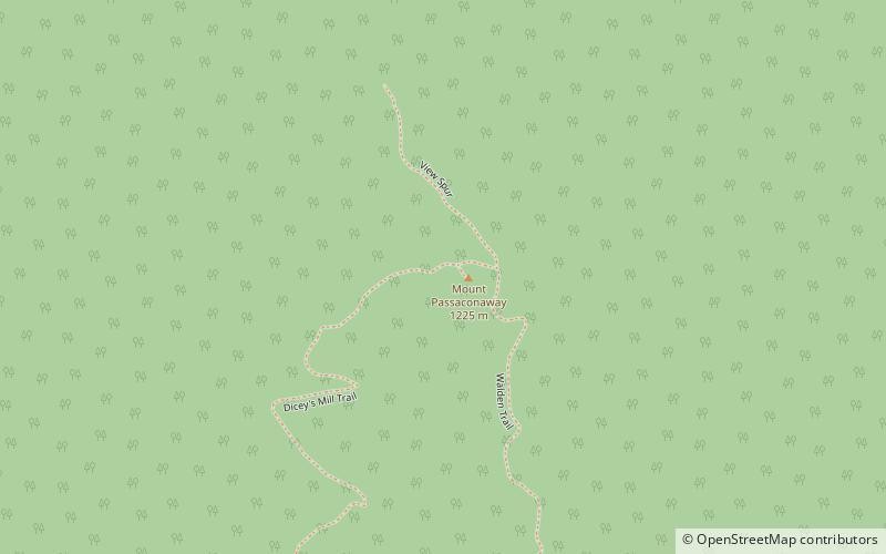
Mount Passaconaway, White Mountain National Forest
Map

Map

Facts and practical information
Mount Passaconaway is a 4,043 ft mountain in the Sandwich Range Wilderness of the White Mountain National Forest in Grafton County, New Hampshire, near Waterville Valley. It is named after Passaconaway, a 16th-century sachem of the Pennacook tribe, whose name was also attached to a small village in Albany, where the northern trailhead is now located. ()
Elevation: 4043 ftProminence: 803 ftCoordinates: 43°57'17"N, 71°22'53"W
Address
White Mountain National Forest
ContactAdd
Social media
Add
Day trips
Mount Passaconaway – popular in the area (distance from the attraction)
Nearby attractions include: Rocky Gorge, Mount Chocorua, Mount Whiteface, The Sleepers.


