Granite Hydroelectric Power Plant Historic District, Salt Lake City

Gallery (1)
Map
Map
Facts and practical information
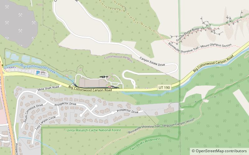
The Granite Hydroelectric Power Station was built in 1896–1897 at the mouth of Big Cottonwood Canyon, about 6 miles southeast of Salt Lake City, Utah, United States(in what is now eastern Cottonwood Heights. The plant comprises the powerhouse, transformer house, a wooden conduit, penstocks, and a small dam. Like the Stairs Station upstream, it represents an intact high-head generating plant from the late 19th century. ()
Built: 1896 (130 years ago)Coordinates: 40°37'9"N, 111°46'52"W
Address
Cottonwood Heights (Wasatch)Salt Lake City
ContactAdd
Social media
Add
Day trips