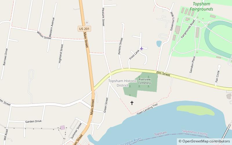
Topsham Historic District, Topsham
Map

Map

Facts and practical information
The Topsham Historic District encompasses the historic village center of Topsham, Maine. Extending along parts of Elm, Green, and Pleasant Streets, the area has a fine collection of 19th and early 20th-century architecture, with the majority built before 1850. It is almost entirely residential, with only a few non-residential uses, including a church. The district was listed on the National Register of Historic Places in 1978. ()
Built: 1800 (226 years ago)Area: 45 acres (0.0703 mi²)Coordinates: 43°55'36"N, 69°57'42"W
Address
Topsham
ContactAdd
Social media
Add
Day trips
Topsham Historic District – popular in the area (distance from the attraction)
Nearby attractions include: Joshua L. Chamberlain Museum, Pejepscot Historical Society, Skolfield–Whittier House, Androscoggin Swinging Bridge.
Frequently Asked Questions (FAQ)
Which popular attractions are close to Topsham Historic District?
Nearby attractions include Maine Fiberarts, Topsham (5 min walk), Lincoln Street Historic District, Brunswick (20 min walk), Brunswick Commercial Historic District, Brunswick (20 min walk), Androscoggin Swinging Bridge, Brunswick (21 min walk).


