Crater National Forest, Crater Lake National Park
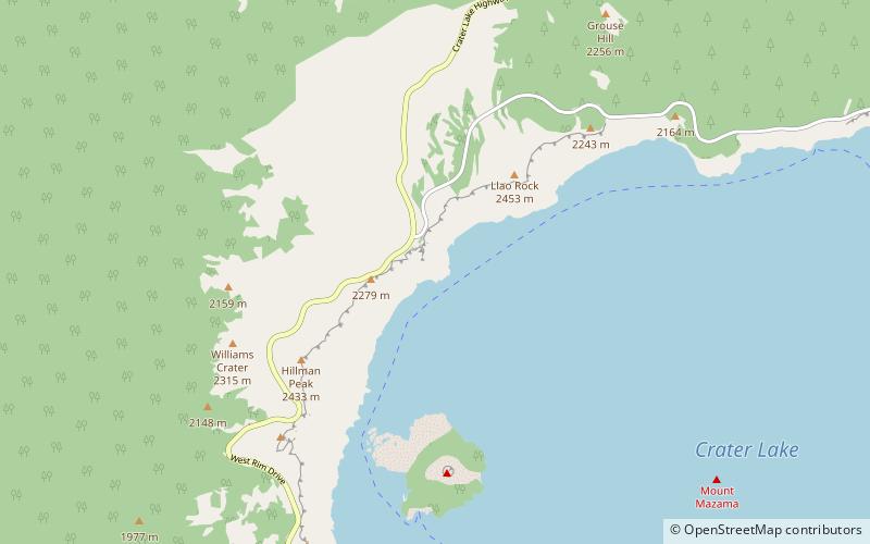
Map
Facts and practical information
Crater National Forest was established by the U.S. Forest Service in Oregon on July 1, 1908 with 1,119,834 acres from portions of Cascade, Klamath and, Siskiyou National Forests as well as all of Ashland National Forest. On July 18, 1915 part of Paulina National Forest was added, and on July 9, 1932 the forest's name was changed to Rogue River National Forest. ()
Coordinates: 42°57'43"N, 122°8'53"W
Address
Crater Lake National Park
ContactAdd
Social media
Add
Day trips
Crater National Forest – popular in the area (distance from the attraction)
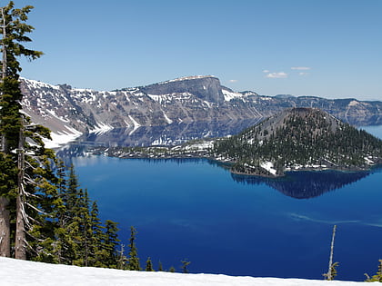
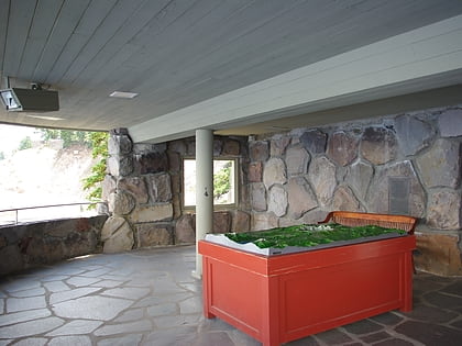
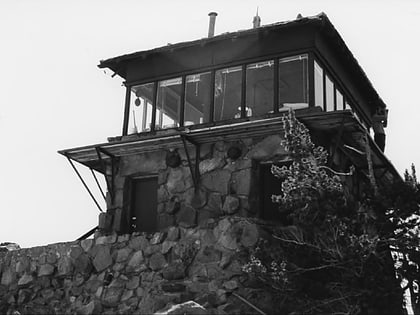
Nearby attractions include: Crater Lake, Sinnott Memorial Observation Station, Watchman Lookout Station, Mount Mazama.
