Trolley Line Number 9 Trail, Ellicott City

Map
Facts and practical information
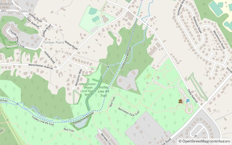
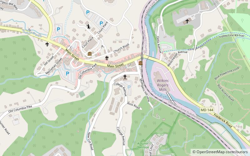
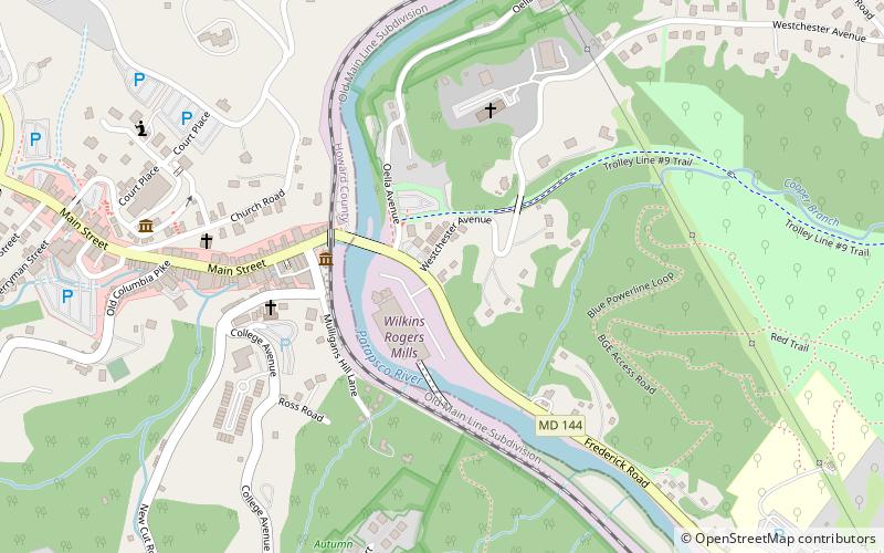
The Historical Ellicott City/Baltimore Trolley Line #9 Trail is a 1.25-mile trail in western Baltimore County, Maryland. It begins at the west end of Edmondson Avenue and extends from Catonsville through Oella to Main Street, Ellicott City. The trail follows what was originally part of the Catonsville and Ellicott City Electric Railway Company trolley line that shuttled passengers between Ellicott City and Baltimore from the late 1890s to the mid-1950s. ()
Length: 6600 ftSeason: All yearCoordinates: 39°16'14"N, 76°46'47"W
Address
CatonsvilleEllicott City
ContactAdd
Social media
Add
Day trips
Trolley Line Number 9 Trail – popular in the area (distance from the attraction)
Nearby attractions include: Saint Paul Catholic Church, George Ellicott House, Patapsco Female Institute, The ClayGround Studio & Gallery.
Frequently Asked Questions (FAQ)
Which popular attractions are close to Trolley Line Number 9 Trail?
Nearby attractions include Mount Gilboa Chapel, Ellicott City (8 min walk), Oella, Ellicott City (12 min walk), Ellicott's Mills Historic District, Ellicott City (18 min walk), HorseSpirit Arts Gallery, Ellicott City (24 min walk).


