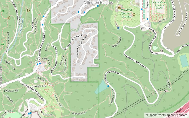
Arlington Heights, Portland
Map

Map

Facts and practical information
Arlington Heights is a neighborhood in Portland of grand houses and some of the city's most renowned parks, such as the Japanese Garden. ()
Coordinates: 45°30'57"N, 122°42'40"W
Day trips
Arlington Heights – popular in the area (distance from the attraction)
Nearby attractions include: Washington Park, Oregon Zoo, International Rose Test Garden, Portland Japanese Garden.
Frequently Asked Questions (FAQ)
Which popular attractions are close to Arlington Heights?
Nearby attractions include Washington Park, Portland (2 min walk), Iyo Stone, Portland (7 min walk), Portland Japanese Garden, Portland (7 min walk), Hoyt Arboretum, Portland (7 min walk).
How to get to Arlington Heights by public transport?
The nearest stations to Arlington Heights:
Bus
Light rail
Tram
Bus
- Southwest Fairview & Cascade • Lines: 63 (6 min walk)
- 2800 Block Southwest Fairview • Lines: 63 (7 min walk)
Light rail
- Washington Park • Lines: Blue, Red (12 min walk)
- Goose Hollow/Southwest Jefferson Street • Lines: Blue, Red (22 min walk)
Tram
- Northwest 23rd & Marshall • Lines: Ns (31 min walk)


