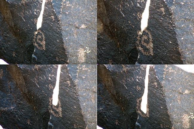
Puerco Ruin and Petroglyphs, Petrified Forest National Park

Gallery (2)
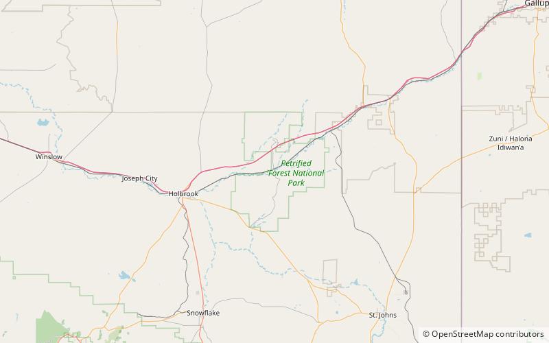
Map
Map
Gallery
Facts and practical information
Puerco Ruin and Petroglyphs are the ruins of a large Indian pueblo, which reached its peak around 1300 CE, containing over 100 rooms. It is the largest known archeological site within the Petrified Forest National Park. ()
Coordinates: 34°58'34"N, 109°47'38"W
Address
Petrified Forest National Park
ContactAdd
Social media
Add