Avery–Helm Historic District, Corvallis
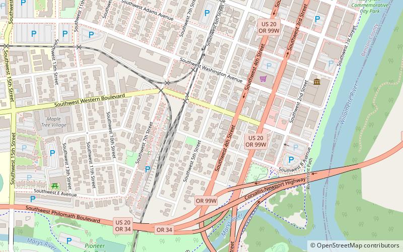
Map

Map

Facts and practical information
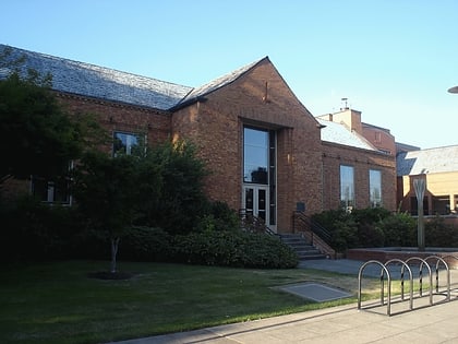
The Avery–Helm Historic District comprises a primarily residential portion of central Corvallis, Oregon, United States. Located on several of Corvallis's earliest plats, the 122 historic houses remaining in the district present a window into the domestic aspects of the city's development from 1870 to 1949, providing a full industrial, socioeconomic, and architectural profile of that period. The district was added to the National Register of Historic Places in 2000. ()
Area: 34 acres (0.0531 mi²)Coordinates: 44°33'34"N, 123°15'58"W
Address
Southwest CorvallisCorvallis
ContactAdd
Social media
Add
Day trips
Avery–Helm Historic District – popular in the area (distance from the attraction)
Nearby attractions include: Reser Stadium, Corvallis Arts Center, Van Buren Street Bridge, Whiteside Theatre.
Frequently Asked Questions (FAQ)
Which popular attractions are close to Avery–Helm Historic District?
Nearby attractions include Pegasus Frame Studio & Gallery, Corvallis (8 min walk), Episcopal Church of the Good Samaritan, Corvallis (9 min walk), Corvallis Arts Center, Corvallis (9 min walk), Whiteside Theatre, Corvallis (10 min walk).
How to get to Avery–Helm Historic District by public transport?
The nearest stations to Avery–Helm Historic District:
Bus
Bus
- FlixBus Corvallis • Lines: 2110 (14 min walk)


