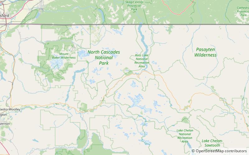
Devil's Corner Cliff Walk, Ross Lake National Recreation Area
#6 among attractions in Ross Lake National Recreation Area
Facts and practical information
The Devil's Corner Cliff Walk is a feature of Ross Lake National Recreation Area. ()
Ross Lake National Recreation Area United States
Devil's Corner Cliff Walk – popular in the area (distance from the attraction)
Nearby attractions include: Paul Bunyans Stump, Mount Ross, Diablo Lake, Colonial Peak.
 Mountain
Paul Bunyans Stump, North Cascades National Park
96 min walk • Paul Bunyans Stump is a 7,480+ ft mountain summit in the North Cascades Range of Washington, United States. It is located within North Cascades National Park. It rises steeply from Diablo Lake, one of the reservoirs on the Skagit River.
 Mountain
Mount Ross, North Cascades National Park
42 min walk • Mount Ross is a 6,052-foot-elevation mountain summit located in the North Cascades, in Whatcom County, Washington, United States.
 Nature, Natural attraction, Lake
Diablo Lake, Ross Lake National Recreation Area
137 min walk • Diablo Lake is a reservoir in the North Cascade mountains of northern Washington state, United States. Created by Diablo Dam, the lake is located between Ross Lake and Gorge Lake on the Skagit River at an elevation of 1,201 feet above sea level.
 Nature, Natural attraction, Mountain
Colonial Peak, North Cascades National Park
130 min walk • Colonial Peak is a mountain in the North Cascades of Washington, United States. It rises steeply from the southwest bank of Thunder Arm of Diablo Lake, one of the artificial reservoirs on the Skagit River.
 Nature, Natural attraction, Mountain
Snowfield Peak, North Cascades National Park
140 min walk • Snowfield Peak is in North Cascades National Park in the U.S. state of Washington. Located in the south unit of the park, Snowfield Peak is.70 mi east of the summit known as Horsemans Pack and the Neve Glacier descends from the north slopes of the mountain.
 Area
AreaStephen Mather Wilderness, North Cascades National Park
127 min walk • The Stephen Mather Wilderness is a 634,614 acres wilderness area honoring Stephen Mather, the first director of the National Park Service.
 Mountain
The Chopping Block, North Cascades National Park
150 min walk • The Chopping Block is a 6,819-foot mountain summit located in the Picket Range within North Cascades National Park in the state of Washington. The mountain is officially named Pinnacle Peak on maps, but hardly anyone calls it by that name. The nearest higher peak is Mount Degenhardt, 0.6 mi to the northeast.
 Nature, Natural attraction, Mountain
Davis Peak, North Cascades National Park
72 min walk • Davis Peak is a mountain just north of Gorge Lake in North Cascades National Park, in the US state of Washington. It is located just south of the Picket Range.
 Nature, Natural attraction, Mountain
Sourdough Mountain, North Cascades National Park
154 min walk • Sourdough Mountain is in North Cascades National Park in the U.S. state of Washington. The Sourdough Mountain Lookout, is a fire lookout that was built by the Civilian Conservation Corps in 1933 near the summit.
 Nature, Natural attraction, Natural feature
Neve Glacier, North Cascades National Park
125 min walk • Neve Glacier is in North Cascades National Park in the U.S. state of Washington and is on the north slopes of Snowfield Peak. Neve Glacier flows generally north and splits in two with two terminal tongues, one flowing to the northwest which is known as Ladder Creek Glacier and the other descending a total of more than 1.8 mi to the east.
 Nature, Natural attraction, Natural feature
Colonial Glacier, North Cascades National Park
111 min walk • Colonial Glacier is in North Cascades National Park in the U.S. state of Washington and is immediately northwest of Neve Peak. Colonial Glacier flows generally north, descending from 6,800 to 6,000 ft.


