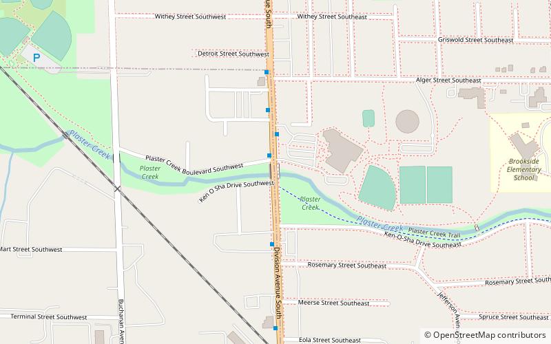
Division Avenue–Plaster Creek Bridge, Grand Rapids
Map
Facts and practical information
The Division Avenue–Plaster Creek Bridge was a historic bridge in Grand Rapids, Michigan, carrying Division Avenue over Plaster Creek. It was listed on the National Register of Historic Places in 1999. The bridge was demolished and replaced in 2007. ()
Built: 1914 (112 years ago)Coordinates: 42°55'5"N, 85°39'58"W
Address
Garfield ParkGrand Rapids
ContactAdd
Social media
Add
Getting there by public transportation
Public transportation stops near this location
- Bus
 Bus
Bus
- Calculate routeKroc Center 2 min walk
- Calculate route28th Street 10 min walk
- Calculate routeBurton Street 17 min walk
Day trips


Frequently Asked Questions (FAQ)
How to get to Division Avenue–Plaster Creek Bridge by public transport?
The nearest stations to Division Avenue–Plaster Creek Bridge:
Bus
Bus
- Kroc Center • Lines: 90 (2 min walk)
- 28th Street • Lines: 90 (10 min walk)