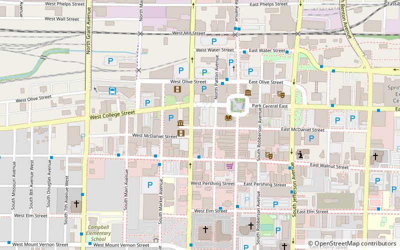
Campbell Avenue Historic District, Springfield
Map
Facts and practical information
Campbell Avenue Historic District is a national historic district located in Springfield, Missouri, United States. The district encompasses 11 contributing buildings in a commercial section of Springfield. The district developed between about 1885 and 1948, and it includes representative examples of Italianate and Colonial Revival style architecture. Notable buildings include the McLaughlin Block and Busy Bee Department Store. ()
Built: 1885 (141 years ago)Coordinates: 37°12'30"N, 93°17'38"W
Address
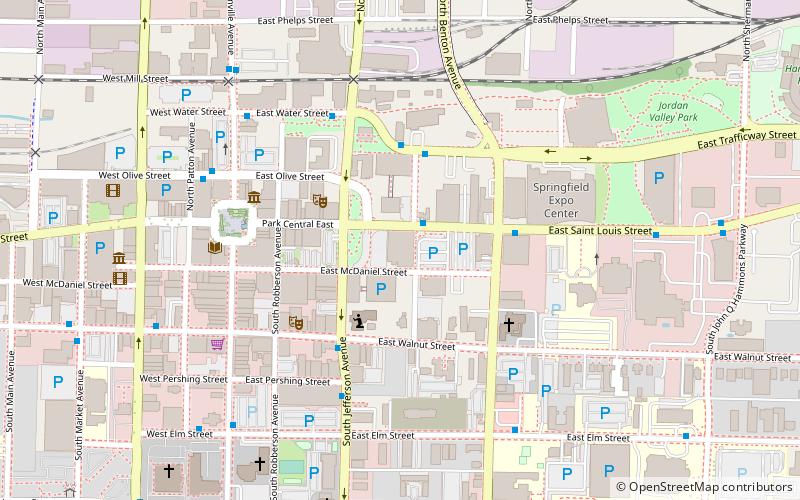
Downtown SpringfieldSpringfield
ContactAdd
Social media
Add
Getting there by public transportation
Public transportation stops near this location
- Bus
 Bus
Bus
- Calculate routeTransit Center 6 min walk
Day trips
Campbell Avenue Historic District – popular in the area (distance from the attraction)
Nearby attractions include: Mediacom Ice Park, Discovery Center of Springfield, Landers Theatre, Gillioz Theatre.


Frequently Asked Questions (FAQ)
Which popular attractions are close to Campbell Avenue Historic District?
Nearby attractions include Old Calaboose, Springfield (1 min walk), West Walnut Street Commercial Historic District, Springfield (2 min walk), Heer's Department Store, Springfield (3 min walk), South–McDaniel–Patton Commercial Historic District, Springfield (3 min walk).
How to get to Campbell Avenue Historic District by public transport?
The nearest stations to Campbell Avenue Historic District:
Bus
Bus
- Transit Center (6 min walk)