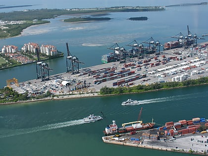
Dodge Island, Miami
Map
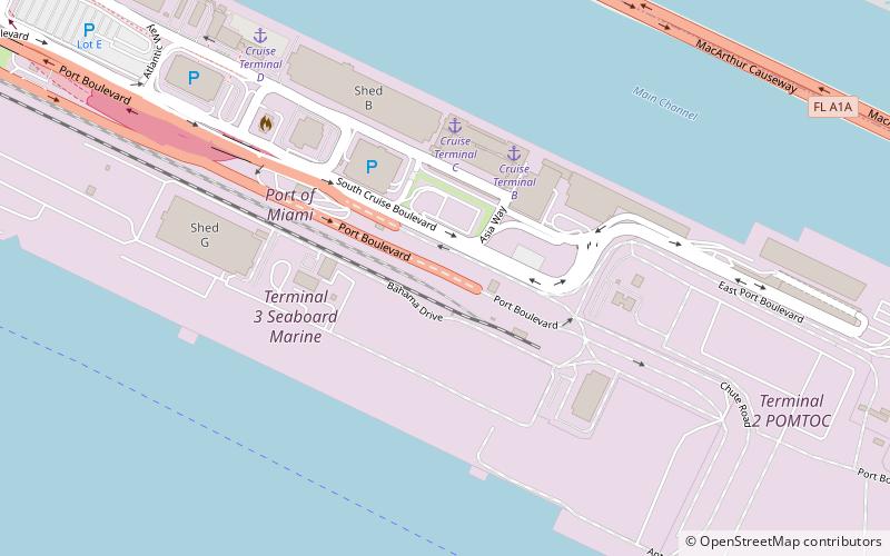
Map

Facts and practical information
Dodge Island is an artificial island near downtown Miami, Florida, United States. The Port of Miami is located on Dodge Island and has berths for both cruise and cargo ships. ()
Coordinates: 25°46'20"N, 80°9'58"W
Address
Downtown MiamiMiami
ContactAdd
Social media
Add
Day trips
Dodge Island – popular in the area (distance from the attraction)
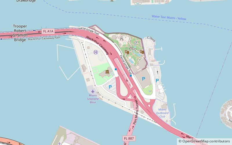
Nearby attractions include: Jungle Island, Bayfront Park, Miami Children's Museum, Miami Yacht Club.
Frequently Asked Questions (FAQ)
Which popular attractions are close to Dodge Island?
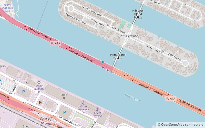
Nearby attractions include PortMiami, Miami (9 min walk), MacArthur Causeway, Miami (11 min walk), Palm Island, Miami Beach (16 min walk), Hibiscus Island, Miami Beach (22 min walk).
How to get to Dodge Island by public transport?
The nearest stations to Dodge Island:
Bus
Bus
- MacArthur Causeway & Fountain Street • Lines: 113, 119 (11 min walk)
- Caribbean Way at Port Miami South • Lines: Cor (19 min walk)


