Edgewood Lake, Birmingham

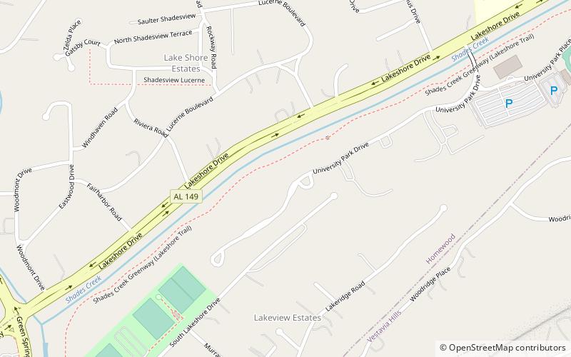
Map
Facts and practical information
Edgewood Lake was located in Homewood, Alabama, from 1913 until the 1940s when the lake was drained. The lake was formed by damming Shades Creek near Green Springs Highway. Developed as part of the town of Edgewood, the 117-acre lake was the center of a planned auto racing track that was never completed. ()
Elevation: 627 ft a.s.l.Coordinates: 33°27'22"N, 86°48'11"W
Address
HomewoodBirmingham
ContactAdd
Social media
Add
Day trips
Edgewood Lake – popular in the area (distance from the attraction)
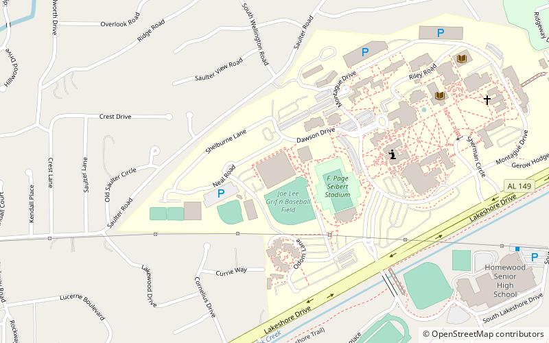
Nearby attractions include: Homewood, Art Alley, Vestavia Hills City Hall, Seibert Stadium.
Frequently Asked Questions (FAQ)
How to get to Edgewood Lake by public transport?
The nearest stations to Edgewood Lake:
Bus
Bus
- SW Corner of US 31 & Kentucky Av • Lines: 31 (24 min walk)
- NE Corner of Canyon Rd & US 31 • Lines: 31 (27 min walk)


