French Pete Trail, Andrews Forest

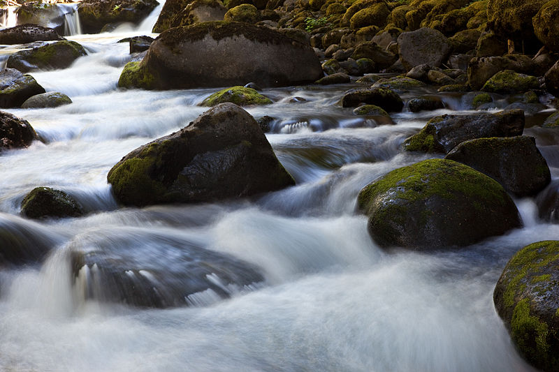
Gallery (2)
Map
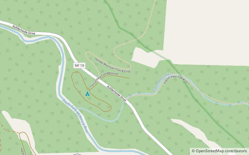
Map
Gallery
Facts and practical information
The French Pete Trail is a 9.9-mile hiking trail in the valley of French Pete Creek in the Three Sisters Wilderness of western Oregon. The trail passes through low-elevation old-growth forest that was a nationwide political issue in the 1960s and 1970s because of conflicting plans for logging and for wilderness designation, respectively. In 1978, the U.S. Congress passed a bill adding the French Pete area to the Three Sisters Wilderness. ()
Length: 9.9 miCoordinates: 44°2'35"N, 122°12'25"W
Address
Andrews Forest
ContactAdd
Social media
Add
Day trips

