Scenic Bridge, Lolo National Forest

Gallery (1)
Map
Map
Facts and practical information
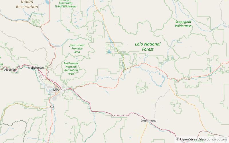
The Scenic Bridge crossing Clark Fork River about 4 miles east of Tarkio in Mineral County, Montana, was built in 1928. It is located at Milepost 0 on Old U.S. Route 10 West. The bridge has also been denoted 24MN304 and MDT No. L31012000+08. It was listed on the National Register of Historic Places in 2010. ()
Built: 1928 (98 years ago)Coordinates: 46°59'23"N, 113°28'26"W
Address
Lolo National Forest
ContactAdd
Social media
Add