Black Mountain, Mark Twain National Forest
Map

Map

Facts and practical information
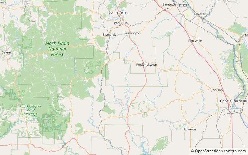
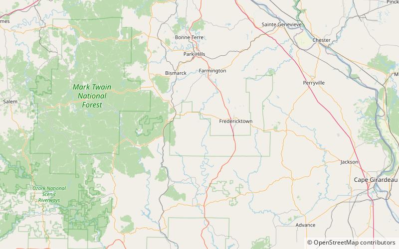
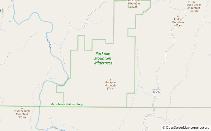
Black Mountain is a summit in western Madison County in the U.S. state of Missouri. The peak has an elevation of 1,503 feet. The St. Francis River flows past the east side of the mountain at an elevation of about 560 feet. Missouri Route E passes the east and south side of the mountain. The community of French Mills lies adjacent to the St. Francis just to the south of the mountain. ()
Coordinates: 37°28'9"N, 90°29'41"W
Address
Mark Twain National Forest
ContactAdd
Social media
Add
Day trips
Black Mountain – popular in the area (distance from the attraction)
Nearby attractions include: Blue Mountain, Rockpile Mountain Wilderness.


