Princeton University School of Engineering and Applied Science, Princeton
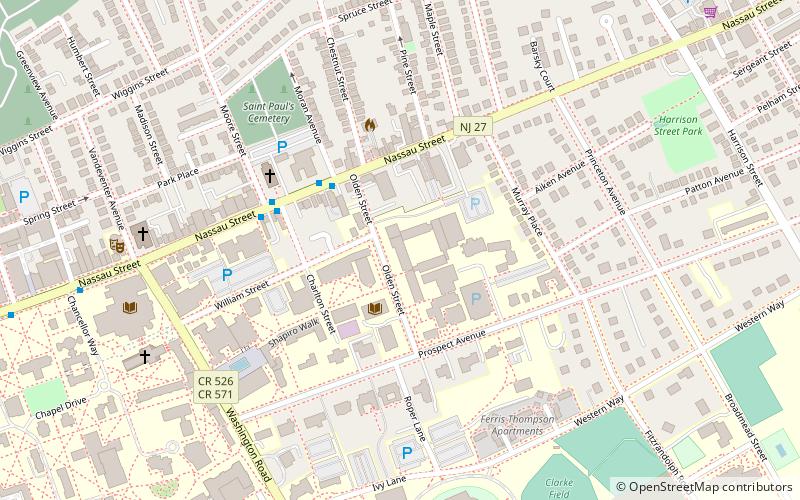
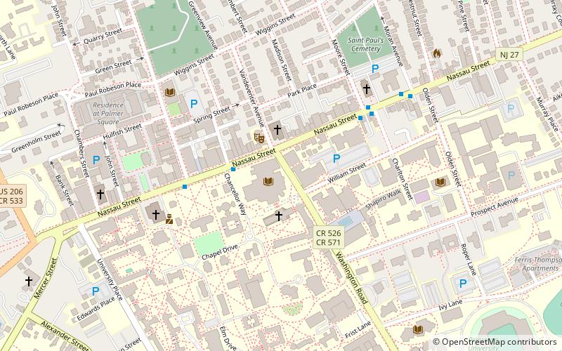
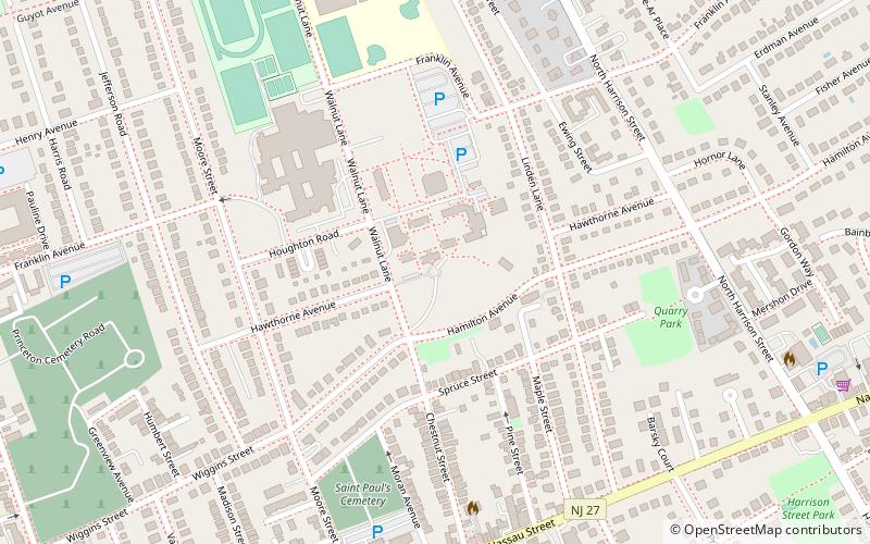
Map
Facts and practical information
Princeton University School of Engineering and Applied Science is located in Princeton, New Jersey, United States. A school within Princeton University, which is one of the eight universities of the Ivy League, it provides undergraduate and graduate instruction in six departments: chemical and biological engineering, civil and environmental engineering, computer science, electrical engineering, mechanical and aerospace engineering, and operations research and financial engineering. It has more than 1,400 undergraduates, 620 graduate students and 147 faculty members in its six departments. ()
Established: 1921 (105 years ago)Coordinates: 40°21'2"N, 74°39'5"W
Getting there by public transportation
Public transportation stops near this location
- Train
 Train
Train
- Calculate routePrinceton 18 min walk
Day trips
Princeton University School of Engineering and Applied Science – popular in the area (distance from the attraction)
Nearby attractions include: Princeton University Chapel, Princeton Shopping Center, McCarter Theatre, Princeton Garden Theatre.


Frequently Asked Questions (FAQ)
Which popular attractions are close to Princeton University School of Engineering and Applied Science?
Nearby attractions include Quadrangle Club, Princeton (1 min walk), Seeley G. Mudd Manuscript Library, Princeton (2 min walk), Tiger Inn, Princeton (4 min walk), University Cottage Club, Princeton (5 min walk).
How to get to Princeton University School of Engineering and Applied Science by public transport?
The nearest stations to Princeton University School of Engineering and Applied Science:
Train
Train
- Princeton (18 min walk)