Nikwasi, Franklin
Map

Map

Facts and practical information
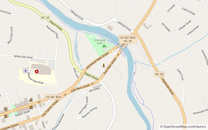
Nikwasi comes from the Cherokee word for "star", Noquisi, and is the site of the Cherokee town which is first found in colonial records in the early 18th century, but is much older. The town covered about 100 acres on the floodplain of the Little Tennessee River. Franklin, North Carolina, was later developed by European Americans around this site. ()
Abandoned: 1819Coordinates: 35°11'6"N, 83°22'25"W
Address
Franklin
ContactAdd
Social media
Add
Day trips
Nikwasi – popular in the area (distance from the attraction)
Nearby attractions include: The Gem & Mineral Society and Museum - Franklin, First Presbyterian Church, Saint Agnes Episcopal Church, Pendergrass Building.
Frequently Asked Questions (FAQ)
Which popular attractions are close to Nikwasi?
Nearby attractions include The Gem & Mineral Society and Museum - Franklin, Franklin (13 min walk), Saint Agnes Episcopal Church, Franklin (14 min walk), Pendergrass Building, Franklin (15 min walk), First Presbyterian Church, Franklin (16 min walk).


