Eau Gallie Causeway, Melbourne
Map

Map

Facts and practical information
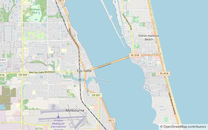
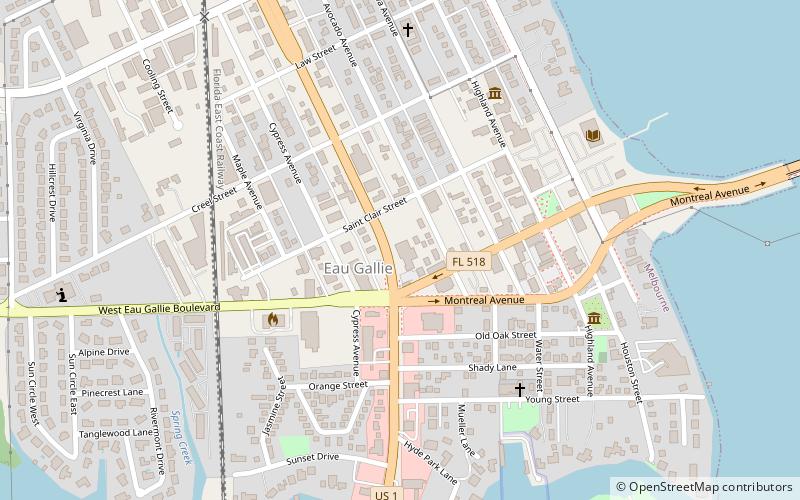
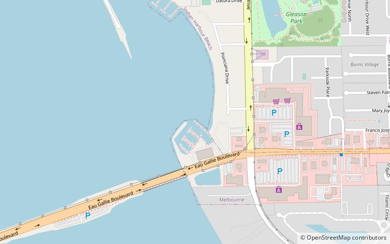
The Eau Gallie Causeway connects Eau Gallie, Florida, with SR A1A near Indian Harbour Beach, across the Indian River Lagoon. Located entirely within the Melbourne city limits, the causeway consists of a main bridge crossing over the Intracoastal Waterway and a relief bridge. The bridge is a key link in SR 518, Eau Gallie Boulevard, of which the causeway is a part. ()
Completed: 1988 (38 years ago)Coordinates: 28°7'58"N, 80°37'5"W
Address
Melbourne
ContactAdd
Social media
Add
Day trips
Eau Gallie Causeway – popular in the area (distance from the attraction)
Nearby attractions include: Foosaner Art Museum, Ballard Park, Eau Gallie Public Library, Historic Rossetter House Museum.
Frequently Asked Questions (FAQ)
Which popular attractions are close to Eau Gallie Causeway?
Nearby attractions include Eau Gallie Public Library, Melbourne (13 min walk), Foosaner Art Museum, Melbourne (15 min walk), Historic Rossetter House Museum, Melbourne (15 min walk), Rossetter Park, Melbourne (15 min walk).
How to get to Eau Gallie Causeway by public transport?
The nearest stations to Eau Gallie Causeway:
Bus
Bus
- Pineapple Avenue / Masterson Street • Lines: 1 (26 min walk)
- North Harbor City Boulevard / Babcock Street • Lines: 1 (31 min walk)

 Melbourne Trams
 Victoria Trains


