Tenth Ward Square, Salt Lake City
Map

Map

Facts and practical information
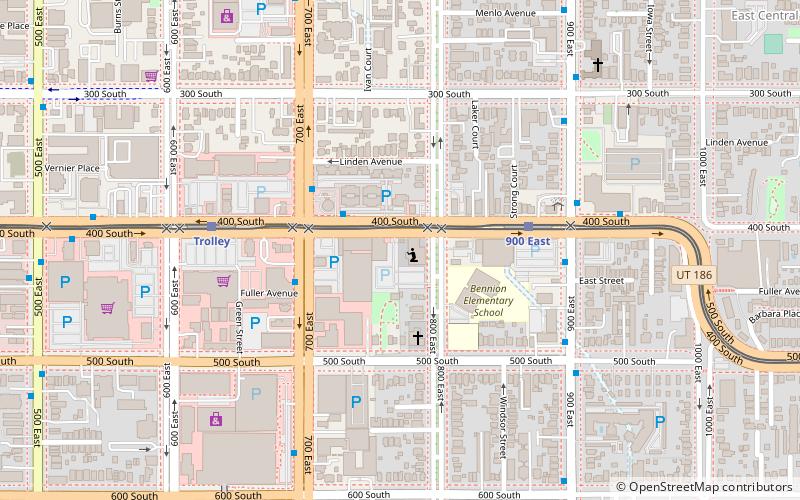
The Tenth Ward Square is a 1.7-acre historic district in northeast Salt Lake City, Utah, United States that was listed on the National Register of Historic Places in 1977. ()
Built: 1873 (153 years ago)Coordinates: 40°45'37"N, 111°52'8"W
Address
Central Salt Lake City (East Central)Salt Lake City
ContactAdd
Social media
Add
Day trips
Tenth Ward Square – popular in the area (distance from the attraction)
Nearby attractions include: City Creek Center, Rice-Eccles Stadium, Trolley Square, Gilgal Sculpture Garden.
Frequently Asked Questions (FAQ)
Which popular attractions are close to Tenth Ward Square?
Nearby attractions include Gilgal Sculpture Garden, Salt Lake City (2 min walk), Lone Cedar Tree, Salt Lake City (8 min walk), Keyser–Cullen House, Salt Lake City (8 min walk), Fortunato Anselmo House, Salt Lake City (11 min walk).
How to get to Tenth Ward Square by public transport?
The nearest stations to Tenth Ward Square:
Light rail
Bus
Light rail
- 900 East • Lines: 703 (4 min walk)
- Trolley • Lines: 703 (6 min walk)
Bus
- U President's Circle • Lines: 220, 9 (24 min walk)
- N St / 4th Ave • Lines: 6 (26 min walk)


