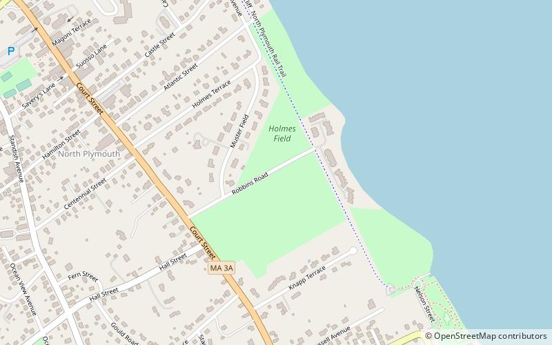
Holmes Reservation, Plymouth
Map

Map

Facts and practical information
Holmes Reservation is a conservation parcel located in Plymouth, Massachusetts. During the American Revolution, the land was used as a muster ground for the Plymouth militia. The property is owned by The Trustees of Reservations, starting with a donation, with endowment, by the Holmes family in 1944. ()
Elevation: 33 ft a.s.l.Coordinates: 41°58'14"N, 70°40'37"W
Address
Court Street and Robbins RoadNorth PlymouthPlymouth 02360
ContactAdd
Social media
Add
Day trips
Holmes Reservation – popular in the area (distance from the attraction)
Nearby attractions include: Cole's Hill, Pilgrim Hall Museum, National Monument to the Forefathers, Massasoit Statue.
Frequently Asked Questions (FAQ)
Which popular attractions are close to Holmes Reservation?
Nearby attractions include North Plymouth, Plymouth (14 min walk), Plymouth Harbor, Plymouth (16 min walk), Clown University, Plymouth (17 min walk), National Monument to the Forefathers, Plymouth (19 min walk).


