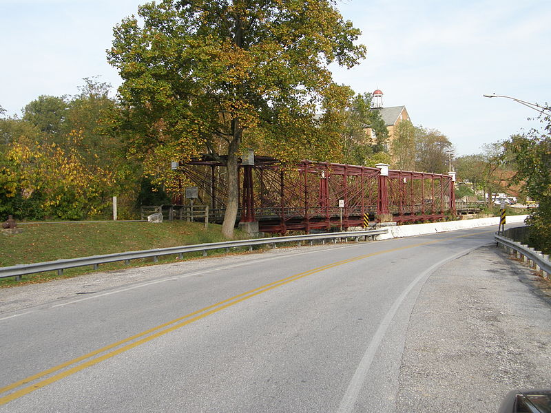
Savage Mill Trail, Savage
Map

Gallery

Facts and practical information
The Savage Mill Trail is a 0.8-mile rail trail that winds along the Little Patuxent River in Savage, Maryland. The trail was formerly part of the Baltimore and Ohio Railroad's rail corridor through central Maryland, but the Howard County Recreation and Parks Department acquired the land in 1978. ()
Length: 4224 ftSeason: All yearCoordinates: 39°8'11"N, 76°49'30"W
Address
Savage - GuilfordSavage
ContactAdd
Social media
Add
Day trips
Savage Mill Trail – popular in the area (distance from the attraction)
Nearby attractions include: Savage Mill, Bollman Truss Railroad Bridge, Truss bridge, Savage Mill Historic District.
Frequently Asked Questions (FAQ)
Which popular attractions are close to Savage Mill Trail?
Nearby attractions include Bollman Truss Railroad Bridge, Savage (3 min walk), Truss bridge, Savage (3 min walk), Savage Mill Historic District, Savage (21 min walk).


