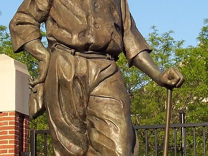
Eutaw Street, Baltimore
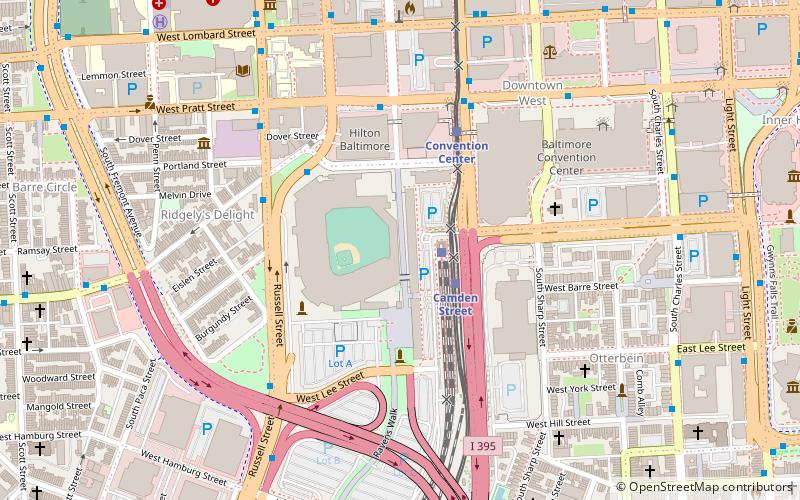
Map
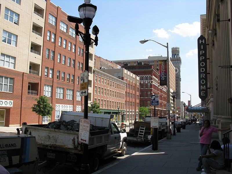
Gallery
Facts and practical information
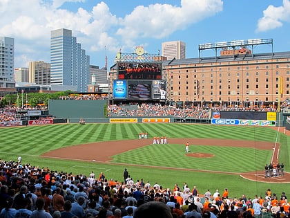
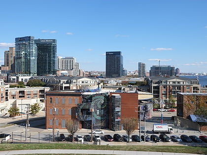
Eutaw Street is a major street in Baltimore, Maryland, mostly within the downtown area. Outside of downtown, it is mostly known as Eutaw Place. ()
Length: 2.4 miCoordinates: 39°17'2"N, 76°37'14"W
Day trips
Eutaw Street – popular in the area (distance from the attraction)
Nearby attractions include: Oriole Park at Camden Yards, M&T Bank Stadium, Royal Farms Arena, Baltimore Heritage Walk.
Frequently Asked Questions (FAQ)
Which popular attractions are close to Eutaw Street?
Nearby attractions include Sports Legends Museum at Camden Yards, Baltimore (2 min walk), Babe's Dream, Baltimore (3 min walk), Brooks Robinson Statue in Baltimore, Baltimore (4 min walk), Otterbein Church, Baltimore (5 min walk).
How to get to Eutaw Street by public transport?
The nearest stations to Eutaw Street:
Train
Light rail
Bus
Metro
Train
- Baltimore Camden Station (2 min walk)
Light rail
- Camden Yards • Lines: Lr (2 min walk)
- Convention Center • Lines: Lr (4 min walk)
Bus
- Eutaw Street - Camden Yards • Lines: Orange (5 min walk)
- Pratt Street & Greene Street Eastbound • Lines: Br (6 min walk)
Metro
- Charles Center • Lines: M (14 min walk)
- Lexington Market • Lines: M (16 min walk)

