Pendleton, Cincinnati
Map
Gallery
Facts and practical information
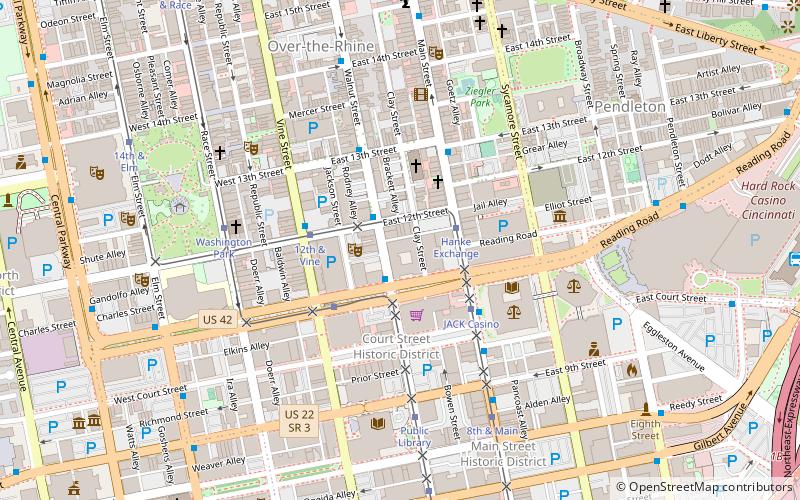
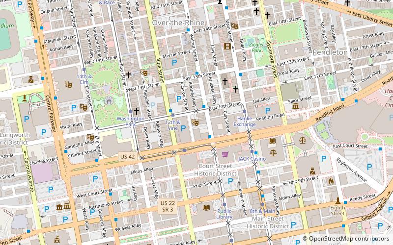
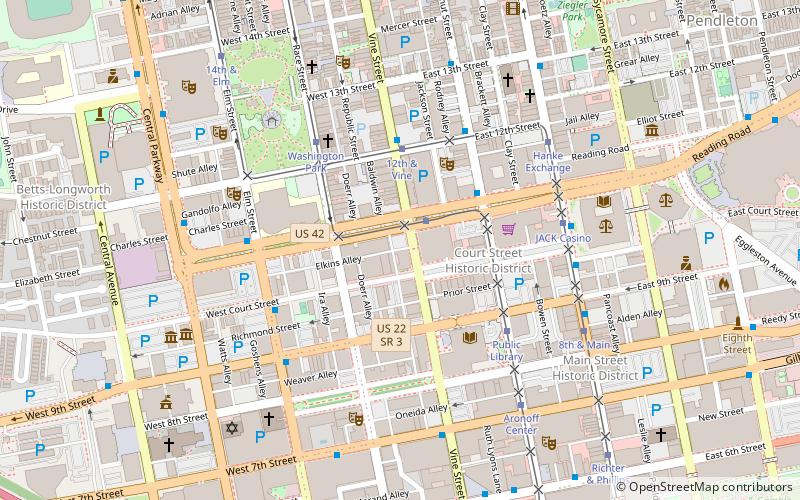
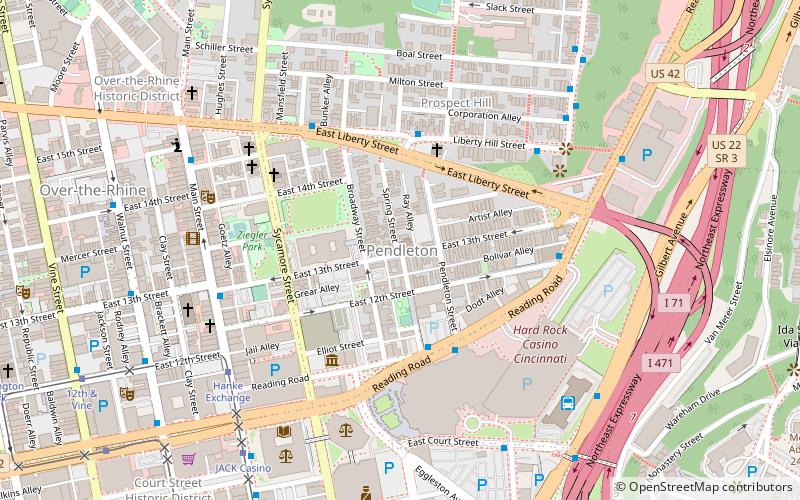
Pendleton is a small neighborhood in Cincinnati, Ohio, located on the east side of Over-the-Rhine, north of the Central Business District, and south of Mount Auburn. It is home of the Pendleton Art Center. The triangle-shaped boundaries of the neighborhood are Liberty Street, Reading Road/Central Parkway, and Sycamore Street. The population was 900 at the 2010 census. ()
Coordinates: 39°6'38"N, 84°30'28"W
Address
Over-The RhineCincinnati
ContactAdd
Social media
Add
Day trips
Pendleton – popular in the area (distance from the attraction)
Nearby attractions include: Hard Rock Casino Cincinnati, Cincinnati and Hamilton County Public Library, Cincinnati Playhouse in the Park, Emery Theatre.
Frequently Asked Questions (FAQ)
Which popular attractions are close to Pendleton?
Nearby attractions include Craft Connection Brewery Tours, Cincinnati (2 min walk), St. Paul Church, Cincinnati (2 min walk), Bernard Ratterman House, Cincinnati (3 min walk), Sycamore-13th Street Grouping, Cincinnati (3 min walk).
How to get to Pendleton by public transport?
The nearest stations to Pendleton:
Bus
Tram
Bus
- Liberty Hill & Young St • Lines: 24 (4 min walk)
- Liberty St & Mansfield St • Lines: 19, 24 (5 min walk)
Tram
- Hanke Exchange • Lines: 100 (7 min walk)
- JACK Casino • Lines: 100 (8 min walk)

