Ferry Beach State Park
Map

Map

Facts and practical information
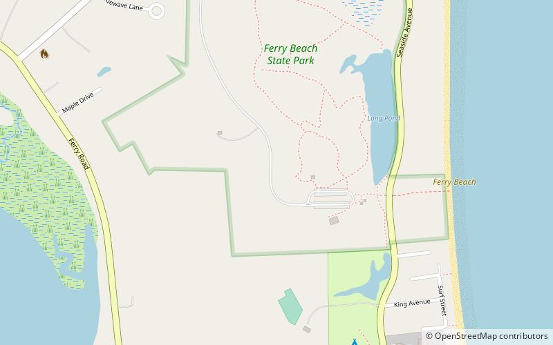
Ferry Beach State Park is a public recreation area occupying 117 acres on Saco Bay north of the mouth of the Saco River in Saco, Maine. The state park encompasses a sandy Atlantic Ocean beach, inland hiking trails, and nature center. The inland portion of the park is noted for its pocket swamp and tupelo trees found at the northern limit of the species's range. The park is managed by the Maine Department of Agriculture, Conservation and Forestry. ()
Elevation: 13 ft a.s.l.Coordinates: 43°28'34"N, 70°23'23"W
Day trips
Ferry Beach State Park – popular in the area (distance from the attraction)
Nearby attractions include: Palace Playland, Funtown Splashtown USA, Wood Island Light, Saco Museum.


