Fifth Street Viaduct, Richmond
Map

Map

Facts and practical information
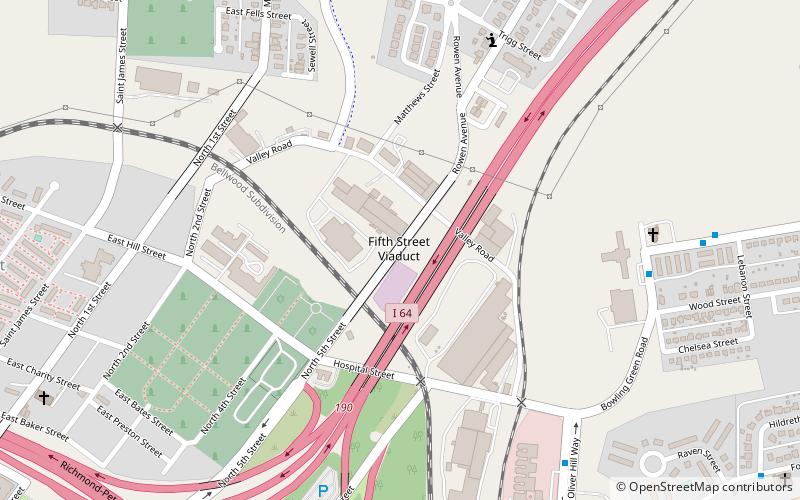
The Fifth Street Viaduct or the Fifth Street Bridge, officially the Curtis Holt Sr. Bridge, is a bridge crossing Bacon's Quarter Branch in the Shockoe Valley of Richmond, Virginia in the United States. It carries automobile and pedestrian traffic between Downtown Richmond's Jackson Ward and Gilpin Court with the North Side's Chestnut Hill and Highland Park. ()
Opened: 1997 (29 years ago)Coordinates: 37°33'12"N, 77°25'39"W
Address
Northside (Highland Park Southern Tip)Richmond
ContactAdd
Social media
Add
Day trips
Fifth Street Viaduct – popular in the area (distance from the attraction)
Nearby attractions include: Richmond Coliseum, The National, John Marshall House, The Valentine.
Frequently Asked Questions (FAQ)
Which popular attractions are close to Fifth Street Viaduct?
Nearby attractions include Shockoe Hill African Burying Ground, Richmond (4 min walk), Hebrew Cemetery, Richmond (4 min walk), The Almshouse, Richmond (5 min walk), Shockoe Hill Cemetery, Richmond (7 min walk).
How to get to Fifth Street Viaduct by public transport?
The nearest stations to Fifth Street Viaduct:
Bus
Bus
- J • Lines: 14, 3C (19 min walk)
- I • Lines: 3C, 5 (19 min walk)


