Springfield, Jacksonville
Map

Map

Facts and practical information
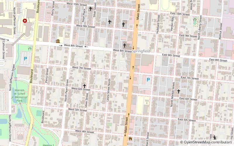
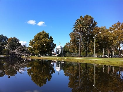
Springfield is a historic neighborhood of Jacksonville, Florida, United States, located to the north of downtown. Established in 1869, it experienced its greatest growth from the early 1880s through the 1920s. The Springfield Historic District is listed in the National Register of Historic Places, and contains some of the city's best examples of 19th and early 20th century architecture. ()
Area: 0.98 mi²Coordinates: 30°20'40"N, 81°39'19"W
Day trips
Springfield – popular in the area (distance from the attraction)
Nearby attractions include: Laura Street, Museum of Contemporary Art Jacksonville, J. P. Small Memorial Stadium, St. James Building.
Frequently Asked Questions (FAQ)
Which popular attractions are close to Springfield?
Nearby attractions include Klutho Park, Jacksonville (12 min walk), Bethel Church, Jacksonville (14 min walk), Karpeles Manuscript Library Museum, Jacksonville (14 min walk), Springfield Park, Jacksonville (18 min walk).
How to get to Springfield by public transport?
The nearest stations to Springfield:
Bus
Train
Bus
- Bay G • Lines: Blue, Green, Red (21 min walk)
- Bay R • Lines: 14, 22, 32, 33, 8 (21 min walk)
Train
- Rosa Parks (21 min walk)
- James Weldon Johnson Park (28 min walk)


