Merriam Peak, White Clouds Wilderness
Map

Map

Facts and practical information
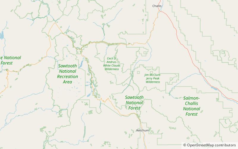
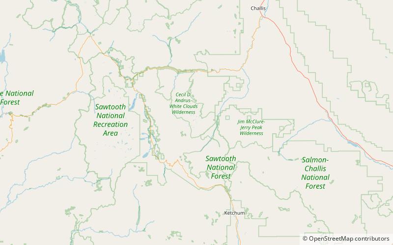
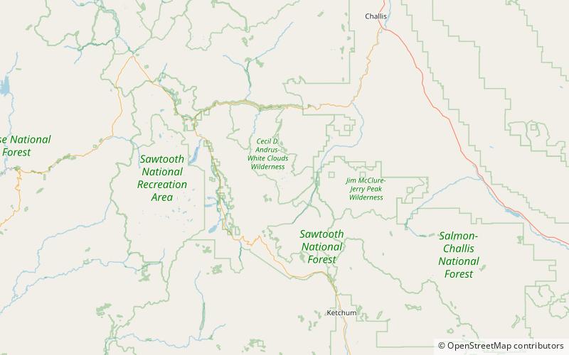
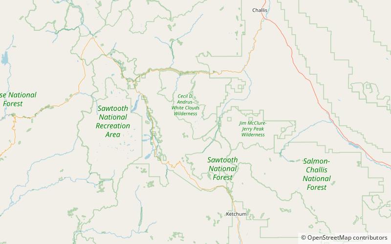
Merriam Peak, at 10,920 feet is one of the peaks of the White Cloud Mountains of Custer County, Idaho. It was named for John H. Merriam who played an instrumental role in protecting the area from being mined for molybdenum. Merriam Peak is located in the middle of the range just north of Castle Peak, the highest point in the range. The peak is located in the White Clouds roadless area of Sawtooth National Recreation Area. ()
Elevation: 10920 ftProminence: 520 ftCoordinates: 44°3'8"N, 114°34'52"W
Address
White Clouds Wilderness
ContactAdd
Social media
Add
Day trips
Merriam Peak – popular in the area (distance from the attraction)
Nearby attractions include: Castle Peak, Quiet Lake, Hatchet Lake, Baker Lake.
Frequently Asked Questions (FAQ)
Which popular attractions are close to Merriam Peak?
Nearby attractions include Noisy Lake, White Clouds Wilderness (11 min walk), Castle Lake, White Clouds Wilderness (12 min walk), Quiet Lake, White Clouds Wilderness (16 min walk), Scree Lake, White Clouds Wilderness (16 min walk).


