Fort Juniata Crossing, Breezewood

Map
Facts and practical information
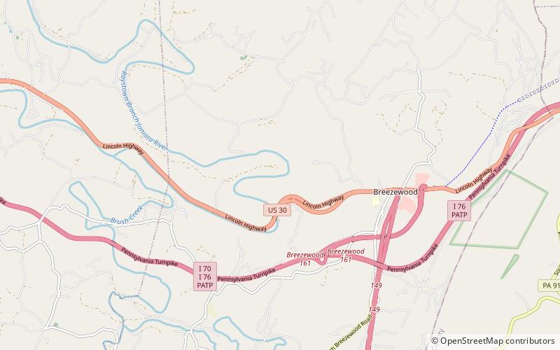
Fort Juniata Crossing, also known as Fort Juniata or simply Juniata Crossing, was a British French and Indian War era fortification located along the Forbes Road. The fort was located along a strategic ford of the Raystown Branch of the Juniata River about 2.4 miles west of the current site of Breezewood, Pennsylvania. ()
Coordinates: 40°0'8"N, 78°16'4"W
Address
Breezewood
ContactAdd
Social media
Add
Day trips
Fort Juniata Crossing – popular in the area (distance from the attraction)
Nearby attractions include: Jacksons Mill Covered Bridge, Feltons Mill Covered Bridge.

