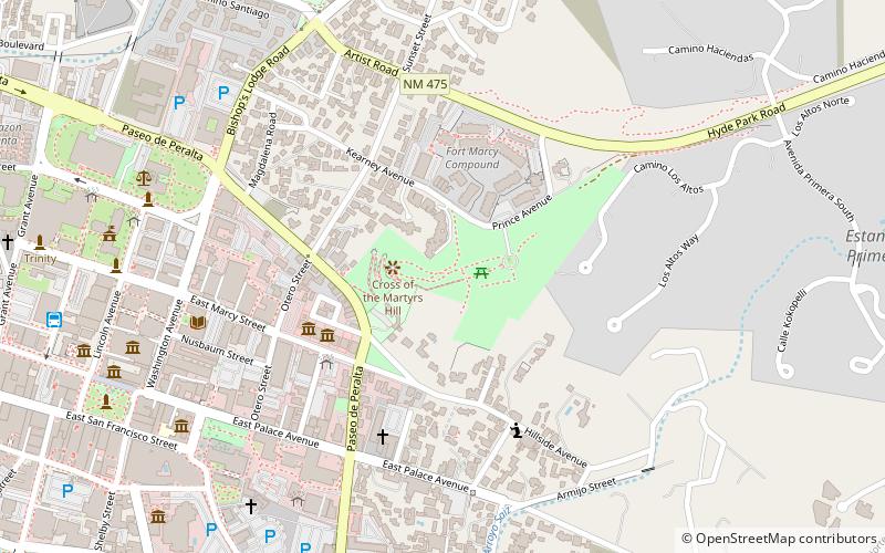
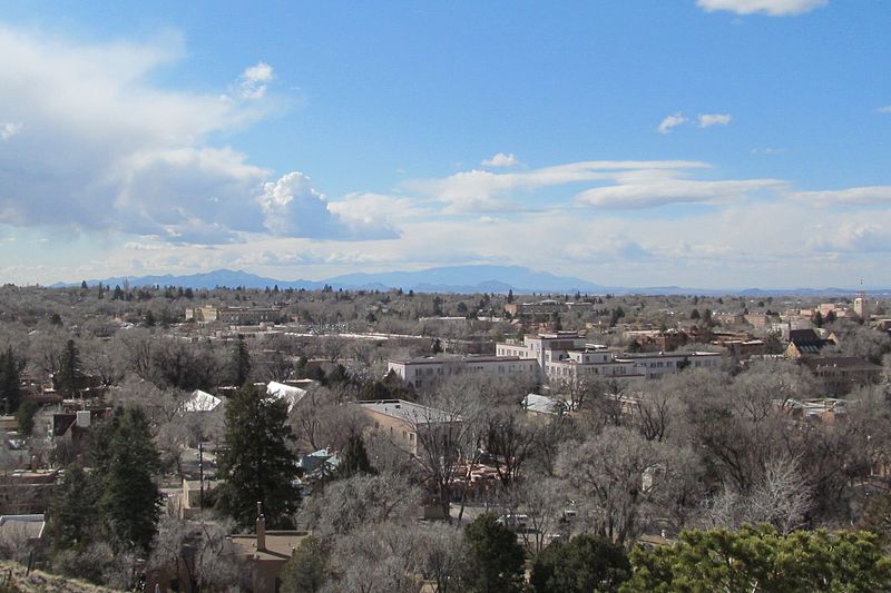
Fort Marcy, Santa Fe
Map

Gallery

Facts and practical information
Fort Marcy was a military reservation in Santa Fe, New Mexico. Used during the American Civil War and Mexican–American War, the structure was demolished in the 1890s. ()
Elevation: 7126 ft a.s.l.Coordinates: 35°41'22"N, 105°55'55"W
Day trips
Fort Marcy – popular in the area (distance from the attraction)
Nearby attractions include: San Miguel Mission, Loretto Chapel, Palace of the Governors, Georgia O'Keeffe Museum.
Frequently Asked Questions (FAQ)
Which popular attractions are close to Fort Marcy?
Nearby attractions include Peyton Wright Gallery, Santa Fe (6 min walk), Santa Fe Historic District, Santa Fe (7 min walk), Scottish Rite Temple, Santa Fe (7 min walk), La Conquistadora, Santa Fe (8 min walk).
How to get to Fort Marcy by public transport?
The nearest stations to Fort Marcy:
Bus
Train
Bus
- Downtown Transit Center (11 min walk)
Train
- Santa Fe Depot (23 min walk)


