Fossil Creek Bridge, Mazatzal Wilderness
Map

Map

Facts and practical information
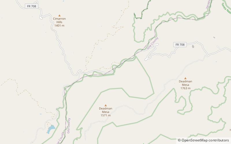
Fossil Creek Bridge is a closed-spandrel deck arch bridge built in the U.S. state of Arizona during 1924–25 on Cottonwood-Camp Verde-Pine road across Fossil Creek. The road, also known as Fossil Creek Road, crosses the creek at a point where it forms the border between Yavapai and Gila counties, and between the Tonto and the Prescott National Forests. The nearest town is Strawberry in Gila County. It is not far from Camp Verde in Yavapai County. ()
Completed: 1924 (102 years ago)Coordinates: 34°23'39"N, 111°37'44"W
Address
Mazatzal Wilderness
ContactAdd
Social media
Add
Day trips
Fossil Creek Bridge – popular in the area (distance from the attraction)
Nearby attractions include: Fossil Springs Wilderness, Childs-Irving Hydroelectric Facilities.


