Fourteenth Street Bridge, Louisville
Map
Gallery
Facts and practical information
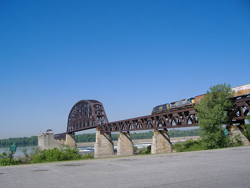
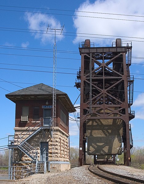
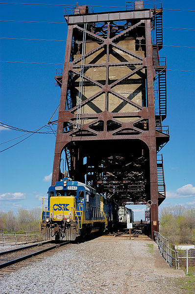
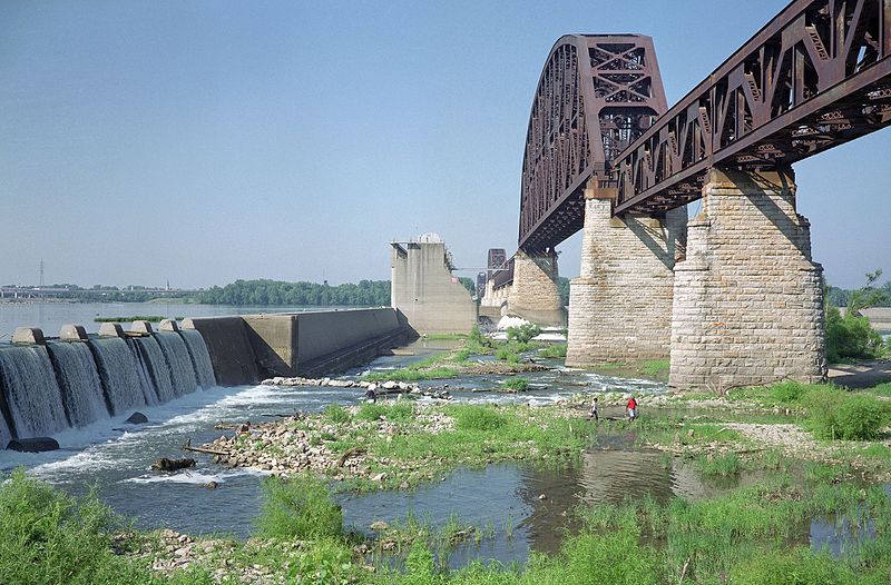
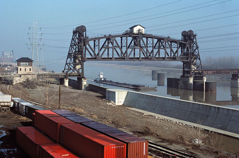
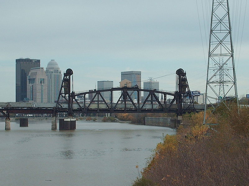
The Fourteenth Street Bridge, also known as the Ohio Falls Bridge, Pennsylvania Railroad Bridge, Conrail Railroad Bridge or Louisville and Indiana Bridge, is a truss drawbridge that spans the Ohio River, between Louisville, Kentucky and Clarksville, Indiana. ()
Opened: 1870 (156 years ago)Coordinates: 38°16'10"N, 85°45'52"W
Address
Louisville
ContactAdd
Social media
Add
Day trips
Fourteenth Street Bridge – popular in the area (distance from the attraction)
Nearby attractions include: Louisville Slugger Museum & Factory, Sons of the American Revolution, KFC Yum! Center, Louisville City Hall.
Frequently Asked Questions (FAQ)
Which popular attractions are close to Fourteenth Street Bridge?
Nearby attractions include Falls of the Ohio State Park, Clarksville (11 min walk), Ohio River, Louisville (13 min walk), Colgate Clock, Clarksville (19 min walk), Frazier History Museum, Louisville (21 min walk).
How to get to Fourteenth Street Bridge by public transport?
The nearest stations to Fourteenth Street Bridge:
Bus
Bus
- Main / 9th • Lines: 77West (21 min walk)
- 10th / Main • Lines: 77West (22 min walk)


