The CAMP, Costa Mesa
Map

Map

Facts and practical information
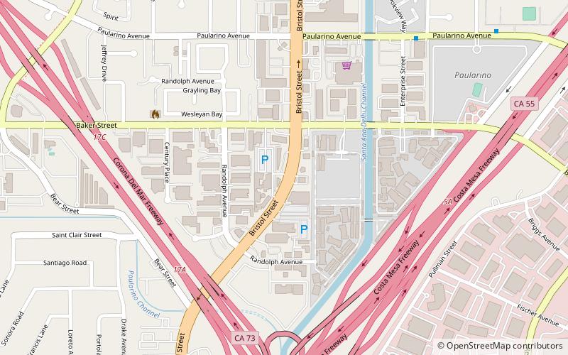
The CAMP (address: 2937 Bristol St) is a place located in Costa Mesa (California state) and belongs to the category of shopping, shopping centre.
It is situated at an altitude of 39 feet, and its geographical coordinates are 33°40'44"N latitude and 117°53'10"W longitude.
Among other places and attractions worth visiting in the area are: St. James Anglican Church, Newport Beach (church, 19 min walk), Lyon Air Museum, Santa Ana (museum, 22 min walk), South Coast Plaza (shopping, 23 min walk).
Coordinates: 33°40'44"N, 117°53'10"W
Day trips
The CAMP – popular in the area (distance from the attraction)
Nearby attractions include: South Coast Plaza, Segerstrom Center for the Arts, Fairgrounds Grandstand Arena, Pacific Amphitheatre.
Frequently Asked Questions (FAQ)
Which popular attractions are close to The CAMP?
Nearby attractions include St. James Anglican Church, Newport Beach (19 min walk), Lyon Air Museum, Santa Ana (22 min walk), South Coast Repertory, Costa Mesa (24 min walk).


