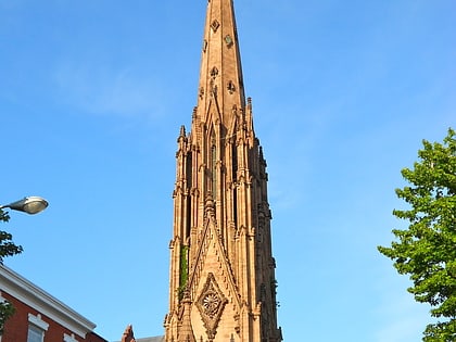
Francis Scott Key Monument, Baltimore
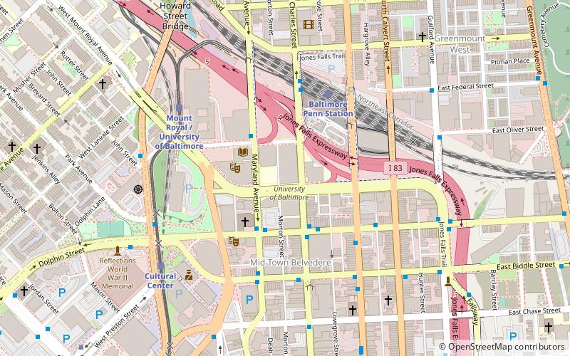
Map
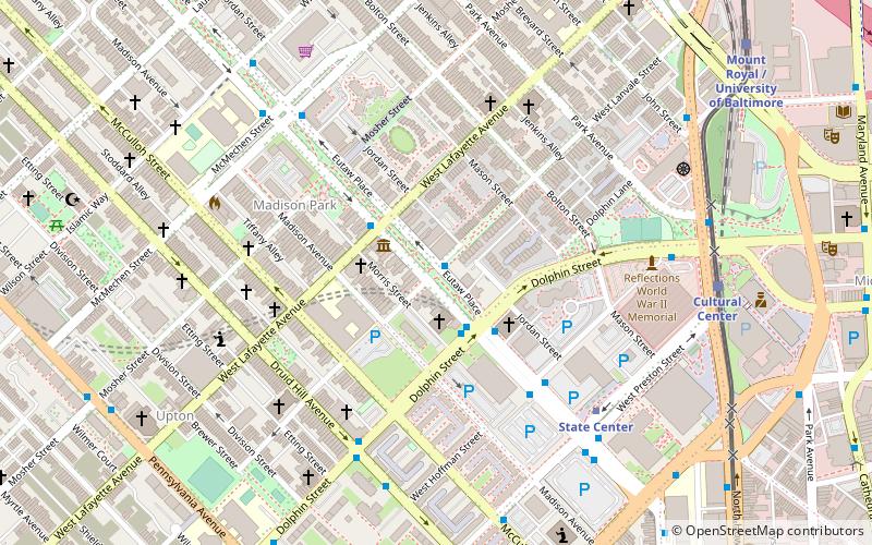
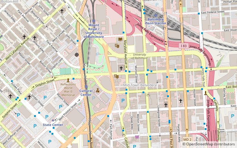
Map

Facts and practical information
The Francis Scott Key Monument is an outdoor sculpture to Francis Scott Key in Baltimore, Maryland. ()
Completed: 1911 (115 years ago)Elevation: 154 ft a.s.l.Coordinates: 39°18'14"N, 76°37'34"W
Day trips
Francis Scott Key Monument – popular in the area (distance from the attraction)
Nearby attractions include: Lyric Performing Arts Center, Brown Memorial Presbyterian Church, Joseph Meyerhoff Symphony Hall, First Presbyterian Church and Manse.
Frequently Asked Questions (FAQ)
Which popular attractions are close to Francis Scott Key Monument?
Nearby attractions include Eutaw Place Temple, Baltimore (1 min walk), Douglas Memorial Community Church, Baltimore (2 min walk), Cecil Apartments, Baltimore (3 min walk), Union Baptist Church, Baltimore (5 min walk).
How to get to Francis Scott Key Monument by public transport?
The nearest stations to Francis Scott Key Monument:
Metro
Light rail
Bus
Train
Metro
- State Center/Cultural Center • Lines: M (6 min walk)
- Upton–Avenue Market • Lines: M (14 min walk)
Light rail
- Cultural Center • Lines: Lr (8 min walk)
- Mount Royal/MICA • Lines: Lr (11 min walk)
Bus
- Maryland Avenue & Preston Street Southbound • Lines: 51 (12 min walk)
- Cathedral Street & Eager Street Southbound • Lines: 51 (13 min walk)
Train
- Baltimore Penn Station (16 min walk)


