University Green Historic District, Burlington
Map

Map

Facts and practical information
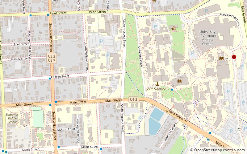
The University Green Historic District encompasses the central green and surrounding buildings of the main campus of the University of Vermont in Burlington, Vermont. The green took shape in 1801, and has been a central element of the campus since then. It is flanked by some of the university's oldest and most architecturally important buildings, and was listed on the National Register of Historic Places in 1975. ()
Coordinates: 44°28'39"N, 73°12'2"W
Address
UVM - FAHCBurlington
ContactAdd
Social media
Add
Day trips
University Green Historic District – popular in the area (distance from the attraction)
Nearby attractions include: Church Street Marketplace, Burlington Town Center, Ira Allen Chapel, Centennial Field.
Frequently Asked Questions (FAQ)
Which popular attractions are close to University Green Historic District?
Nearby attractions include Billings Memorial Library, Burlington (4 min walk), Ira Allen Chapel, Burlington (5 min walk), Dudley H. Davis Center, Burlington (6 min walk), Fleming Museum of Art, Burlington (7 min walk).
How to get to University Green Historic District by public transport?
The nearest stations to University Green Historic District:
Bus
Bus
- Downtown Transit Center (18 min walk)
- University Mall Bus Stop (32 min walk)


