George's Block, Sycamore
Map

Map

Facts and practical information
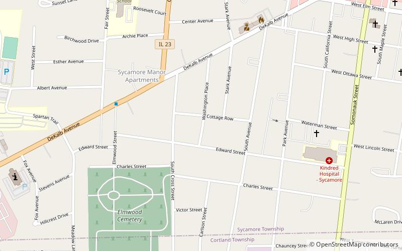
The George's Block, once known as the James Block, is a 19th-century structure located in Sycamore, Illinois, along Illinois Route 64 as it passes through the DeKalb County seat. The Block is part of the Sycamore Historic District and as such is listed on the National Register of Historic Places. The district joined the Register in May 1978. The building dates from 1857 when it was owned by Daniel P. James but by the 1860s the building has become known as George's Block. ()
Built: 1857 (169 years ago)Coordinates: 41°59'2"N, 88°41'39"W
Address
Sycamore
ContactAdd
Social media
Add
Day trips
George's Block – popular in the area (distance from the attraction)
Nearby attractions include: Sycamore Public Library, Civil War Memorial, Midwest Museum of Natural History, Elmwood Cemetery Gates.
Frequently Asked Questions (FAQ)
Which popular attractions are close to George's Block?
Nearby attractions include Civil War Memorial, Sycamore (1 min walk), Elmwood Cemetery Gates, Sycamore (1 min walk), Sycamore Historic District, Sycamore (11 min walk), Midwest Museum of Natural History, Sycamore (12 min walk).
How to get to George's Block by public transport?
The nearest stations to George's Block:
Bus
Bus
- 12 • Lines: Blue Line (5 min walk)


