Gowanus Canal, New York City

Map
Facts and practical information
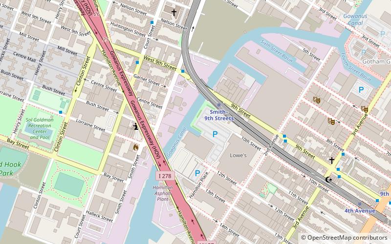
The Gowanus Canal is a 1.8-mile-long canal in the New York City borough of Brooklyn, on the westernmost portion of Long Island. Once a vital cargo transportation hub, the canal has seen decreasing use since the mid-20th century, parallel with the decline of domestic waterborne shipping. It continues to be used for occasional movement of goods and daily navigation of small boats, tugs and barges. ()
Address
61 9th StSouth Brooklyn (Gowanus)New York City
ContactAdd
Social media
Add
Day trips
Gowanus Canal – popular in the area (distance from the attraction)
Nearby attractions include: The Bell House, Roulette, The Invisible Dog Art Center, Red Hook Park.
Frequently Asked Questions (FAQ)
Which popular attractions are close to Gowanus Canal?
Nearby attractions include The Bell House, Sea Gate (8 min walk), Interference Archive, Sea Gate (8 min walk), Gowanus, New York City (9 min walk), Red Hook Park, Sea Gate (12 min walk).
How to get to Gowanus Canal by public transport?
The nearest stations to Gowanus Canal:
Metro
Bus
Train
Metro
- Smith–9th Streets • Lines: F, G (2 min walk)
- 4th Avenue • Lines: F, G (11 min walk)
Bus
- 9th Street & 6th Avenue • Lines: B61 (20 min walk)
- Prospect Park West & Bartel Pritchard Square • Lines: B61 (31 min walk)
Train
- Atlantic Terminal (34 min walk)
 Subway
 Manhattan Buses


