Village of Park Ridge, Stevens Point

Gallery (1)
Map
Map
Facts and practical information
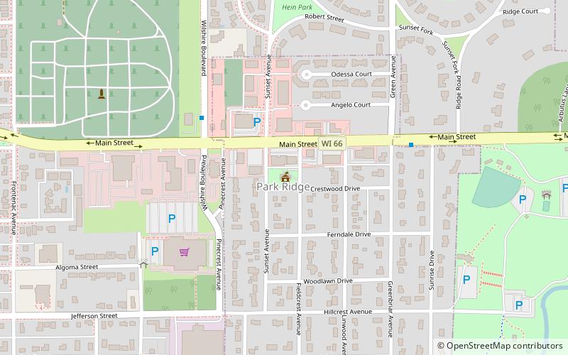
Village of Park Ridge (address: 24 Crestwood Drive) is a place located in Stevens Point (Wisconsin state) and belongs to the category of city hall.
It is situated at an altitude of 1093 feet, and its geographical coordinates are 44°31'21"N latitude and 89°32'51"W longitude.
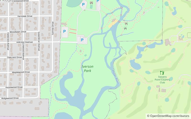
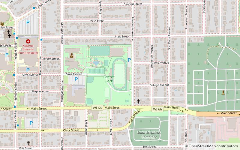
Among other places and attractions worth visiting in the area are: Iverson Park (park, 13 min walk), Goerke Field (football, 17 min walk), University of Wisconsin–Stevens Point (universities and schools, 33 min walk).
Coordinates: 44°31'21"N, 89°32'51"W
Day trips