Sunderland, Portland

Map
Facts and practical information
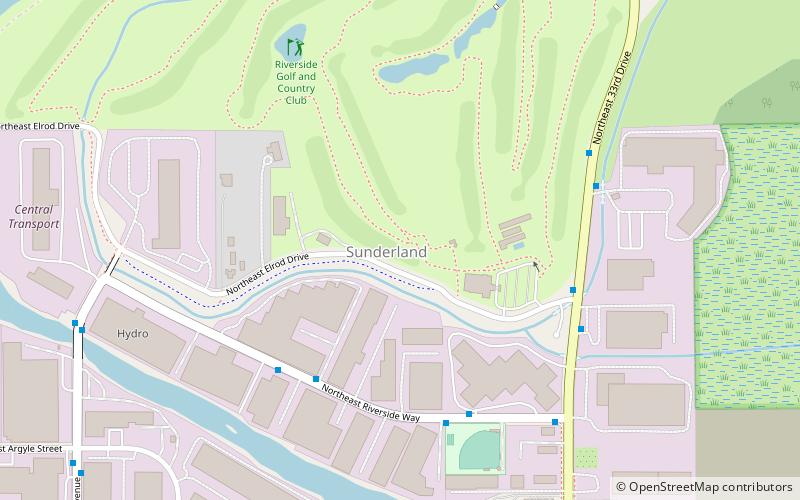
Sunderland is a neighborhood in the northeast section of Portland, Oregon, United States. It is bordered by the Columbia River to the north; Woodlawn and Concordia to the south; Portland International Airport and Cully to the east; and East Columbia to the west. There is a city sanctioned transient encampment called Dignity Village in Sunderland between a state prison and the airport. ()
Coordinates: 45°34'57"N, 122°38'13"W
Day trips
Sunderland – popular in the area (distance from the attraction)
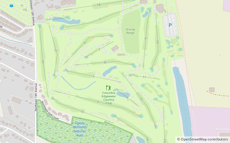
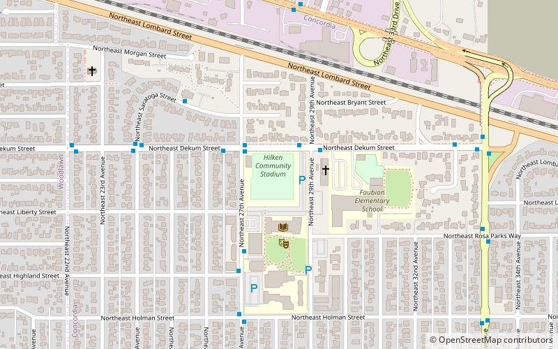
Nearby attractions include: Columbia Edgewater Country Club, Clovelly Garden Apartments, Raymond and Catherine Fisher House, Hilken Community Stadium.
Frequently Asked Questions (FAQ)
How to get to Sunderland by public transport?
The nearest stations to Sunderland:
Bus
Bus
- 2400 Block Northeast Riverside Way • Lines: 70 (5 min walk)
- 2500 Block Northeast Riverside Way • Lines: 70 (5 min walk)


