Richmond National Battlefield Park, Richmond
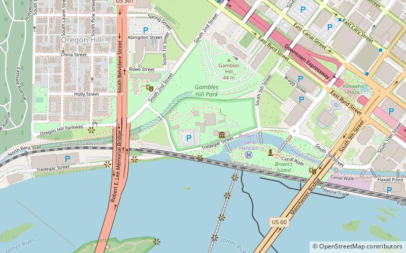
Map

Map

Facts and practical information
The Richmond National Battlefield Park commemorates 13 American Civil War sites around Richmond, Virginia, which served as the capital of the Confederate States of America for most of the war. The park connects certain features within the city with defensive fortifications and battle sites around it. ()
Visitors per year: 95 thous.Coordinates: 37°32'7"N, 77°26'45"W
Day trips
Richmond National Battlefield Park – popular in the area (distance from the attraction)
Nearby attractions include: Belle Isle, Tredegar Iron Works, Altria Theater, The National.
Frequently Asked Questions (FAQ)
Which popular attractions are close to Richmond National Battlefield Park?
Nearby attractions include Tredegar Iron Works, Richmond (1 min walk), Gambles Hill, Richmond (3 min walk), Virginia War Memorial, Richmond (5 min walk), Brown's Island, Richmond (7 min walk).
How to get to Richmond National Battlefield Park by public transport?
The nearest stations to Richmond National Battlefield Park:
Bus
Train
Bus
- Cary & Harrison • Lines: 5 (22 min walk)
- A • Lines: 1A, 1C (22 min walk)
Train
- Richmond Main Street (23 min walk)


