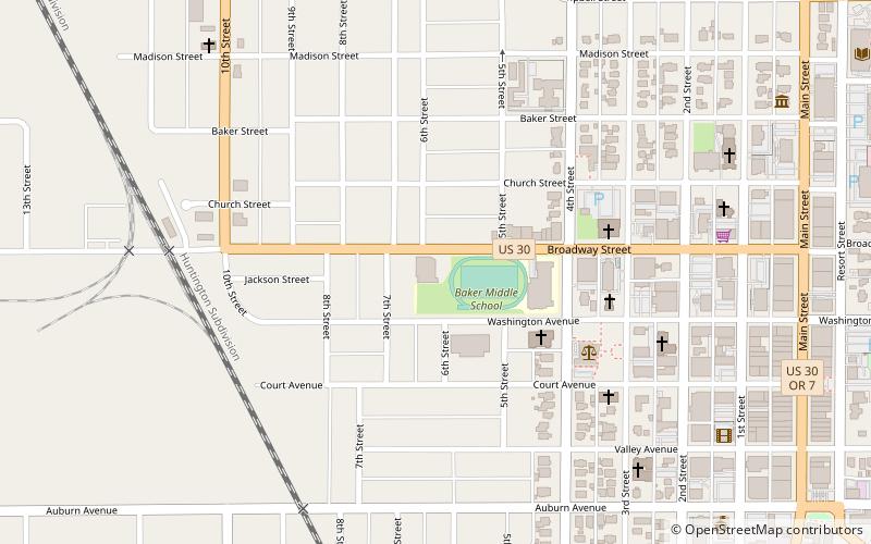
Baker City Salvation Army Thrift Store, Baker City
Map

Map

Facts and practical information
Baker City Salvation Army Thrift Store (address: 2505 Broadway Ave) is a place located in Baker City (Oregon state) and belongs to the category of sightseeing.
It is situated at an altitude of 3442 feet, and its geographical coordinates are 44°46'40"N latitude and 117°50'13"W longitude.
Among other places and attractions worth visiting in the area are: Cathedral of Saint Francis de Sales (church, 9 min walk), Peterson's Chocolates (museum, 9 min walk), Baker Historic District (neighbourhood, 9 min walk).
Coordinates: 44°46'40"N, 117°50'13"W
Day trips
Baker City Salvation Army Thrift Store – popular in the area (distance from the attraction)
Nearby attractions include: Baker Heritage Museum, Cathedral of Saint Francis de Sales, Baker Historic District, Peterson's Chocolates.
Frequently Asked Questions (FAQ)
Which popular attractions are close to Baker City Salvation Army Thrift Store?
Nearby attractions include Cathedral of Saint Francis de Sales, Baker City (9 min walk), Peterson's Chocolates, Baker City (9 min walk), Baker Historic District, Baker City (9 min walk), Baker County Library District, Baker City (12 min walk).


