Hoover Mason Trestle, Bethlehem
Map

Map

Facts and practical information
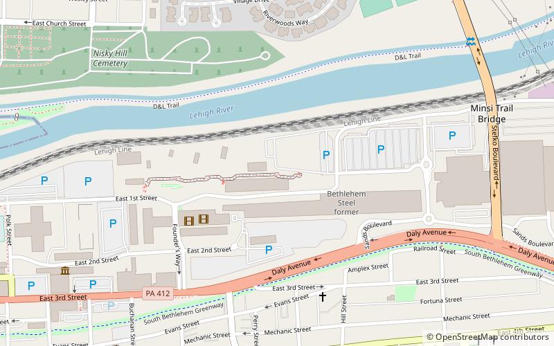
The Hoover-Mason Trestle is a 1650-foot elevated linear park in Bethlehem, Pennsylvania on the reclaimed industrial site of Bethlehem Steel. The trestle is 46 feet high and was originally an elevated narrow gauge rail line for raw materials, built around 1905. ()
Elevation: 230 ft a.s.l.Coordinates: 40°36'54"N, 75°21'54"W
Address
711 E 1st StSouth BethlehemBethlehem 18015-1369
Contact
+1 610-297-7200
Social media
Add
Day trips
Hoover Mason Trestle – popular in the area (distance from the attraction)
Nearby attractions include: The Outlets at Sands Bethlehem, Moravian Museum, Moravian Book Shop, National Museum of Industrial History.
Frequently Asked Questions (FAQ)
Which popular attractions are close to Hoover Mason Trestle?
Nearby attractions include Minsi Trail Bridge, Bethlehem (9 min walk), National Museum of Industrial History, Bethlehem (10 min walk), Wind Creek Bethlehem, Bethlehem (11 min walk), The Outlets at Sands Bethlehem, Bethlehem (12 min walk).
How to get to Hoover Mason Trestle by public transport?
The nearest stations to Hoover Mason Trestle:
Bus
Bus
- South Bethlehem Bus Terminal (18 min walk)


