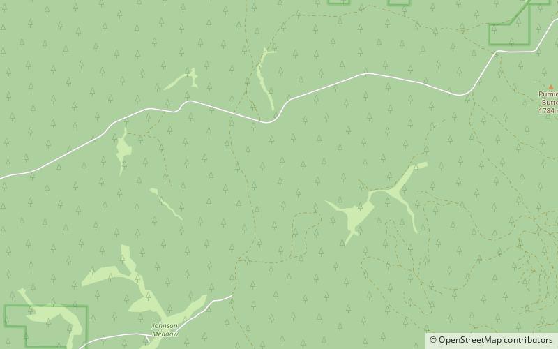
Long Valley, Fremont–Winema National Forest
Map

Map

Facts and practical information
The Long Valley of Utah is a 13-mile long valley located in western Kane County. The valley is located in source water regions of waters flowing north, south, and southwest, in the west of the High Plateaus section of the Colorado Plateau; the High Plateaus section also extends into northern Arizona, the region north of the Grand Canyon. ()
Maximum elevation: 68640 ftCoordinates: 43°17'32"N, 121°33'36"W
Address
Fremont–Winema National Forest
ContactAdd
Social media
Add
