Petoskey Public Works Utility Building, Petoskey
Map

Map

Facts and practical information
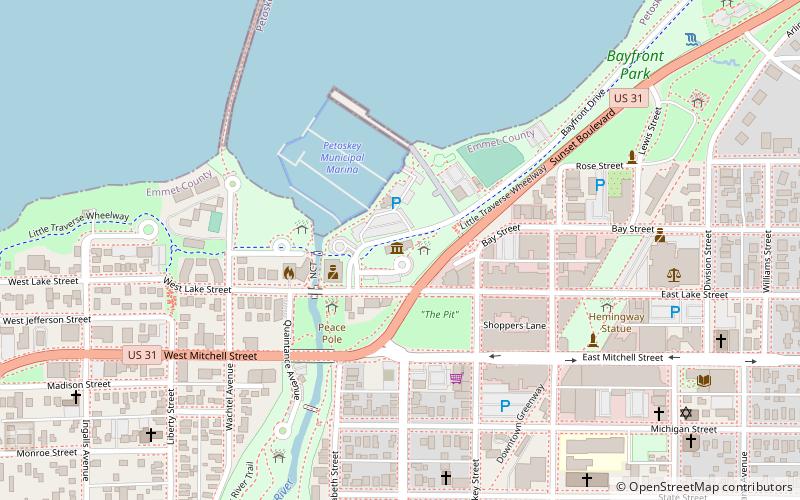
The Petoskey Public Works Utility Building, is a utility building located at 106 West Lake Street in Petoskey, Michigan. It was added to the National Register of Historic Places in 1986. ()
Built: 1937 (89 years ago)Coordinates: 45°22'32"N, 84°57'32"W
Address
Petoskey
ContactAdd
Social media
Add
Day trips
Petoskey Public Works Utility Building – popular in the area (distance from the attraction)
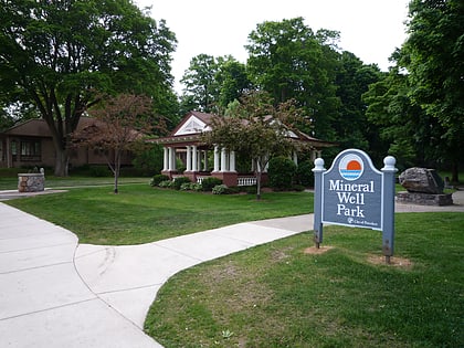
Nearby attractions include: Little Traverse History Museum, Mineral Well Park, West Mitchell Street Bridge, St. Francis Solanus Mission.
Frequently Asked Questions (FAQ)
Which popular attractions are close to Petoskey Public Works Utility Building?
Nearby attractions include Little Traverse History Museum, Petoskey (1 min walk), Mineral Well Park, Petoskey (4 min walk), West Mitchell Street Bridge, Petoskey (4 min walk), Northgoods, Petoskey (5 min walk).


