Station Road Bridge, Cuyahoga Valley National Park
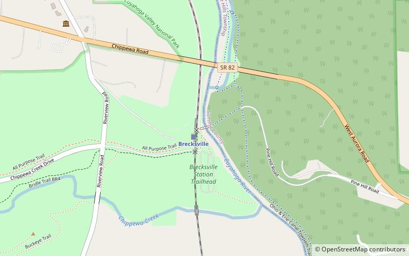
Map
Facts and practical information
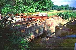
The Station Road Bridge, near Brecksville, Ohio, was built in 1882. It spans the Cuyahoga River between Cuyahoga County and Summit County, Ohio. It was listed on the National Register of Historic Places in 1979. ()
Coordinates: 41°19'9"N, 81°35'15"W
Day trips
Station Road Bridge – popular in the area (distance from the attraction)
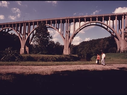
Nearby attractions include: Northfield Park, Cuyahoga Valley Scenic Railroad, Brecksville-Northfield High Level Bridge, Sleepy Hollow Golf Course - Cleveland Metroparks.
Frequently Asked Questions (FAQ)
How to get to Station Road Bridge by public transport?
The nearest stations to Station Road Bridge:
Train
Train
- Brecksville (1 min walk)


