Statesboro City Hall and Fire Station, Statesboro

Facts and practical information
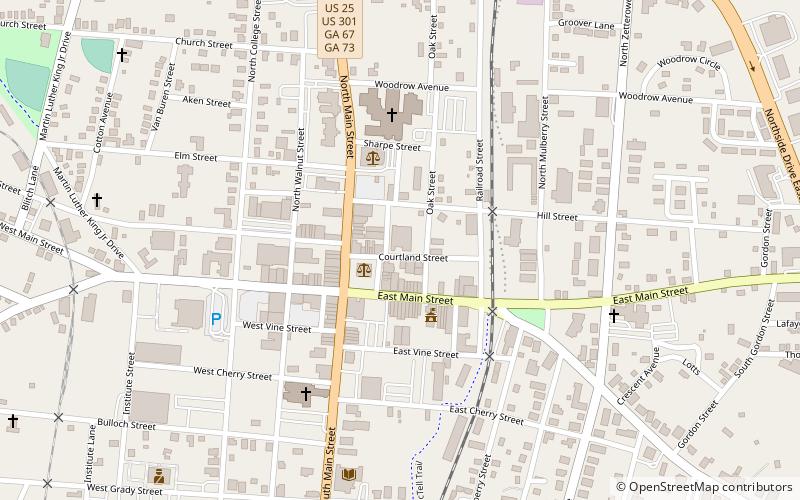
The Statesboro City Hall and Fire Station is a historic structure in Statesboro, Georgia. It is located at the corner of Siebald Street and Courtland Street, immediately northeast of the courthouse square. It is a one-story brick building of commercial design. It was built in 1911 as the city stables and remodeled several times. In 1933 there was a major addition and the whole structure may have been rebuilt. The city government and fire department once occupied this building. An awning was added before 1966 and a vehicle bay was added in 1970. ()
Statesboro
Statesboro City Hall and Fire Station – popular in the area (distance from the attraction)
Nearby attractions include: Bulloch County Courthouse, Jaeckel Hotel, North Main Street Commercial Historic District, East Main Street Commercial Historic District.


