Gulf Intracoastal Waterway, New Orleans

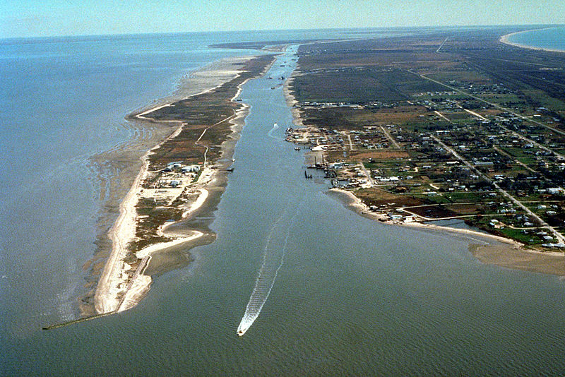
Gallery (2)
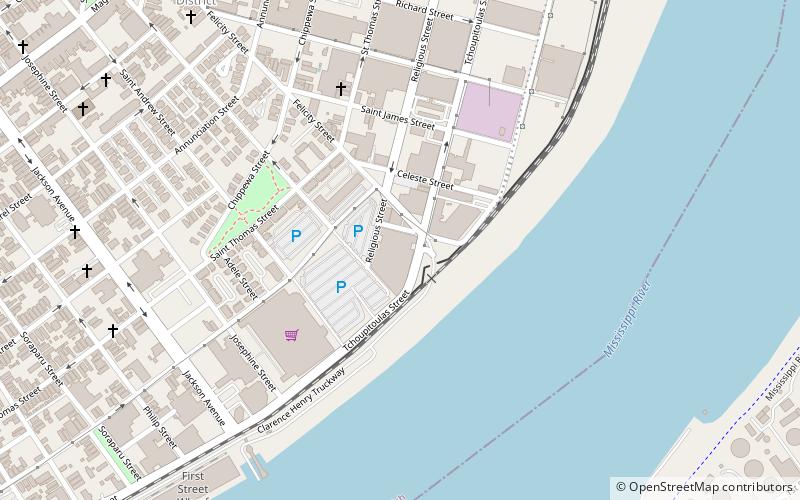
Map
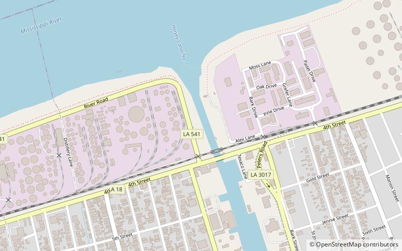
Map
Gallery
Facts and practical information
The Gulf Intracoastal Waterway is the portion of the Intracoastal Waterway located along the Gulf Coast of the United States. It is a navigable inland waterway running approximately 1,050 mi from Carrabelle, Florida, to Brownsville, Texas. ()
Address
New Orleans
ContactAdd
Social media
Add
Day trips